Project Overview
ESE completed a CIA and Permit Matrix for two alternate locations near the Gulf Coast along with alternative Transmission Line routes to help the client determine the best option for building a new BESS facility. As a result, one of the alternatives was clearly more complicated to permit and build, which helped our client make an informed decision about how to proceed.
Objectives
The objectives of the BESS project in Matagorda County, Texas, were to evaluate the feasibility of developing the specified land area for a battery energy storage system facility. Additionally, the project aimed to identify and address critical environmental-related permitting or development issues, ensuring compliance with local, state, and federal regulations. Another key objective was to optimize land use while minimizing environmental impact.
Methodology
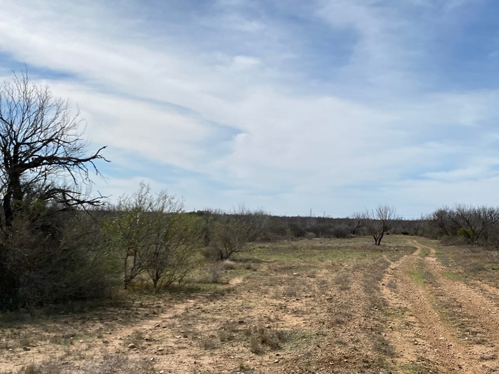
- Site Analysis: Conducted a records-based survey of the land to understand topography, soil composition, and existing vegetation.
- Option Development: Created two potential development plans (Option 1 and Option 2) to explore different configurations.
- Transmission Corridor Planning: Identified a suitable transmission corridor to ensure efficient permitting.
- Environmental Impact Assessment: Evaluated potential impacts on wetlands, endangered species, floodplains, and cultural resources.
- Stakeholder Consultation: Engaged with local authorities, and researched opposition to gather input and address concerns.
Findings
The findings revealed that Option 1 focused on maximizing land use efficiency while minimizing environmental disruption, featuring an unpaved road, thick woody vegetation, and a residential home. In contrast, Option 2 prioritized ease of access and future expansion possibilities but required more discretionary permit risk. The proposed transmission corridor intersected a river and included areas mapped with freshwater emergent wetlands. The site was located in the Northern Humid Gulf Coastal Prairies Level IV Ecoregion and was identified as prime farmland. Potential habitat for several endangered and threatened species existed within the site, including possibilities for the Swallow-tailed Kite, White-tailed Hawk, and Texas Scarlet Snake. Additionally, the site included areas within a 100-year floodplain, a 500-year floodplain, and a regulatory floodway associated with a local river.
Budget
The evaluation was completed on time and within budget.
Conclusion
Both development options were viable; however, Option 1 was recommended due to its balance between efficiency and minimal environmental impact. The identified transmission corridor supported both options effectively. The project was not anticipated to be met with strong opposition within Matagorda County.