What Is Cemetery Delineation & Documentation?
Cemetery delineation and documentation is a targeted cultural resources / land services effort to:
- Confirm presence of a cemetery or burial area (marked and/or unmarked)
- Define the cemetery boundary (visible and inferred limits)
- Map and document headstones/markers, surface features, fencing, and access routes
- Produce deliverables suitable for project planning and legal/agency coordination (e.g., mapped exhibits, report memo, and GIS/CAD layers)
On transportation and other public projects, cemetery involvement may require agency consultation when interments are older (TxDOT notes consultation pathways when interments are >50 years old).
Request Your Cemetery Delineation Services Today
Texas’ most trusted environmental experts – comprehensive by design.
When Is It Required?
Cemetery delineation & documentation is commonly required (or strongly recommended) when:
- You’re buying, selling, or financing land with rumored or known graves (risk to title, access, future use)
- A project footprint approaches a suspected cemetery and you need setbacks / avoidance planning
- You need clearer definition before design, platting, or construction decisions
- A ROW or public infrastructure project requires cemetery identification and coordination steps
- A property owner is pursuing or coordinating around dedicated cemetery land requirements (survey/map/plat expectations may apply)
ESE Partners’ Approach
Comprehensive by Design means you get a defined boundary and documentation your team can use, beyond confirming that a headstone is present. We mobilize fast and produce clean exhibits for engineers, attorneys, and stakeholders. Our avoidance buffers and next steps match the evidence, with no unnecessary escalation. We align documentation with typical expectations in Texas land development and public projects, including consultation considerations where applicable. Deliverables are GIS-first, so they integrate easily into CAD and GIS for civil design and constraint mapping. Texas coverage includes Houston, Dallas–Fort Worth, Austin, San Antonio, and statewide rural project areas.
Our Process
- Desktop screening & records review: Collect historical aerials/topos, parcel data, and relevant local references; plan field methods and access. (For public-facing cultural resources documentation, we align with recognized Texas reporting norms where applicable.)
- Field reconnaissance: Locate visible markers and features (fencing, depressions, vegetation patterns, alignment cues).
- Boundary delineation: Establish a defensible boundary using observable features and site context; recommend conservative buffers where uncertainty exists.
- Survey/GPS mapping (as needed): Produce coordinate-based mapping suitable for exhibits and design constraints.
- Documentation package: Photo log, mapped figures, narrative memo/report, and GIS/CAD files (client-standard formats).
- Coordination support: If the project is public/ROW or otherwise agency-driven, we help package documentation to support consultation steps and internal decision-making.
Regulatory Framework (Texas-Focused)
Cemetery work can touch multiple frameworks depending on project type and land status. Common Texas references include:
Texas Health & Safety Code (cemetery provisions)
For certain cemetery land actions (e.g., establishing/dedicating land), guidance commonly references requirements to survey/subdivide and create a map/plat for the dedicated area.
TxDOT project procedures
TxDOT guidance highlights THC and FHWA consultation considerations when cemeteries include older interments (e.g., >50 years).
Texas cultural resources reporting norms
When documentation is intended to support agency review, report organization and supporting materials are often aligned with established Texas archeological reporting standards.
(Exact requirements vary by project funding, permitting, and land ownership; ESE will confirm the right pathway during scoping.)
Risks of Not Completing This Service
Skipping cemetery delineation/documentation can create:
- Design rework and schedule delays when graves are discovered late (during clearing, grading, or utility trenching)
- Lender and investor friction in due diligence when constraints are uncertain or undocumented
- Legal and reputational risk if burials are impacted or access/boundary issues escalate
- ROW/permitting complications when agencies require clearer documentation/consultation support
More Cultural Resources Services
Phase I Archaeological Survey & Monitoring
Ground disturbance, infrastructure development, and federally connected projects can trigger cultural resources review and archaeological compliance requirements. ESE Partners supports owners, developers, utilities, and public-sector teams with Phase I Archaeological Surveys and construction monitoring designed to identify cultural resources, document findings, and support agency review. Our team helps align fieldwork, reporting, and coordination with applicable Section 106, Texas Antiquities, and project-specific requirements while keeping schedules, permitting, and construction priorities moving forward.
Mechanically Augmented Survey & Testing
Deeply buried soils, alluvial settings, prior fill, and limited surface visibility can make standard pedestrian survey methods insufficient for evaluating archaeological risk. ESE Partners provides Mechanically Augmented Survey & Testing to help identify and assess buried cultural deposits using controlled excavation methods, field documentation, and agency-aligned reporting. Our team supports developers, utilities, infrastructure teams, and public-sector clients with practical testing strategies that improve subsurface visibility, satisfy cultural resources review requirements, and keep permitting and construction decisions moving forward.
Industries We Serve
ESE operates in a wide range of industries, all with unique needs and regulatory obligations. We offer experts who understand the broad complexity of environmental challenges faced by today’s businesses.

Real Estate Brokers & Developers
ESE helps brokers and developers reduce deal friction and avoid surprises through fast, defensible environmental due diligence. We support property evaluations, redevelopment risk screening, and transaction-ready reporting for Texas assets.

Private Equity/Capital Investors
Transaction support for acquisitions and portfolio oversight, including Phase I/II ESAs and risk-based evaluation. We provide clear findings, practical recommendations, and scalable diligence support.

Financial Institutions
ESE supports lender-driven environmental due diligence and portfolio risk management, including Phase I/II ESAs and risk screening. We deliver consistent, defensible reporting aligned with credit and closing timelines.

Attorneys
Technical support for environmental risk, liability evaluation, and regulatory strategy. We provide clear documentation and expert collaboration to support transactions, compliance matters, and remediation planning.
Why ESE Partners
Texas’ Most Trusted Environmental Experts – Comprehensive by Design.
ESE Partners is built for projects where time, defensibility, and practical judgment matter. Our Texas-first teams understand real-world development and infrastructure constraints. We offer integrated service lines, including environmental due diligence, compliance, remediation support, and cultural and building sciences coordination. Deliverables are ready for your deal team to use, with clear maps, concise documentation, and actionable recommendations. We provide statewide support for everything from single-tract commercial real estate transactions to multi-county linear projects.
Need to confirm or map a cemetery before your project advances?
Contact ESE Partners for a fast, scoped proposal—typically within 24 hours—so you can keep your deal (and your schedule) moving.
Our Cultural Resources Projects
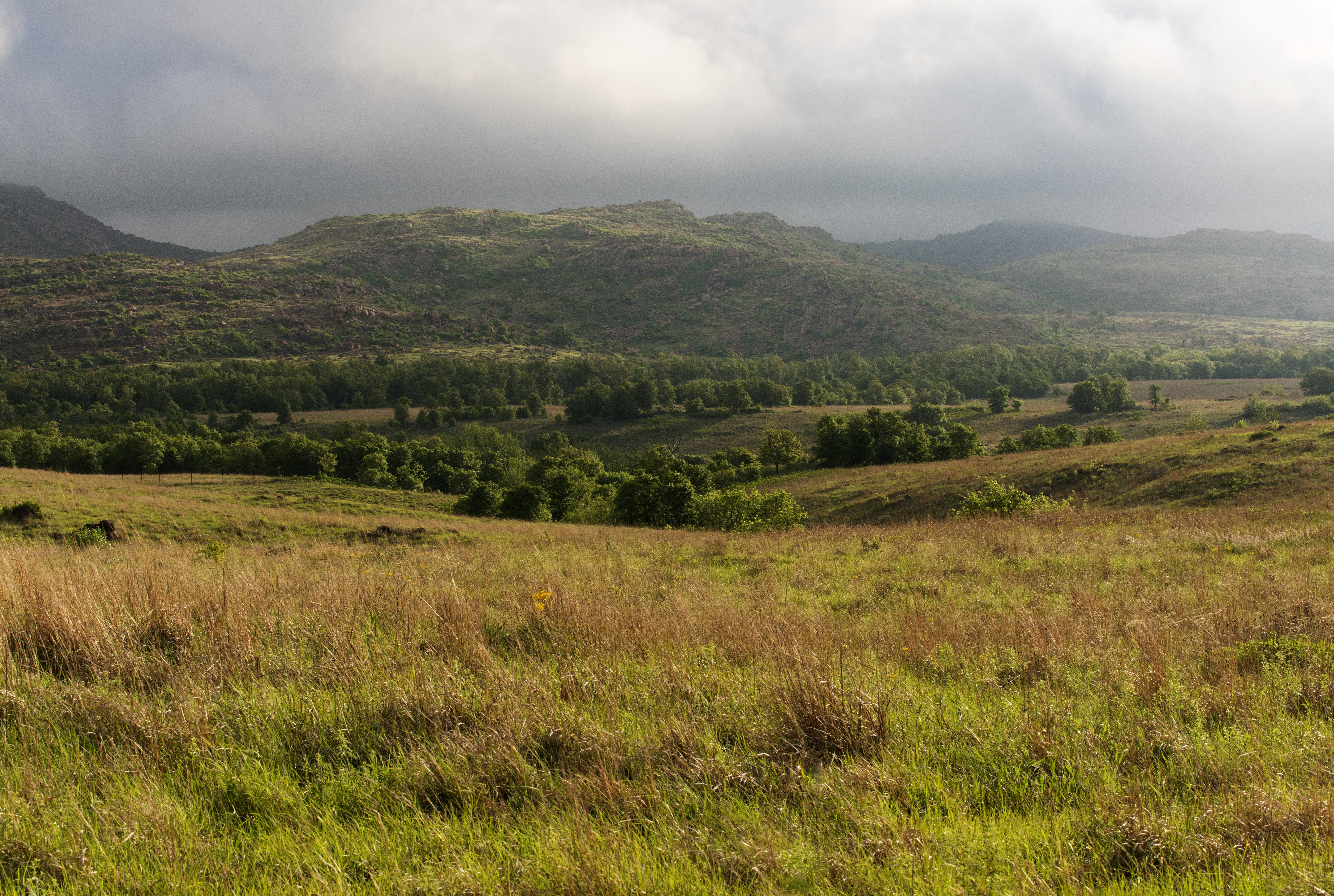
Section 106 Cultural Resources Survey for Industrial Site Due Diligence
ESE Partners completed a cultural resources survey for a 110-acre industrial site in Muskogee, Oklahoma, supporting due diligence under Section 106 of the National Historic Preservation Act.
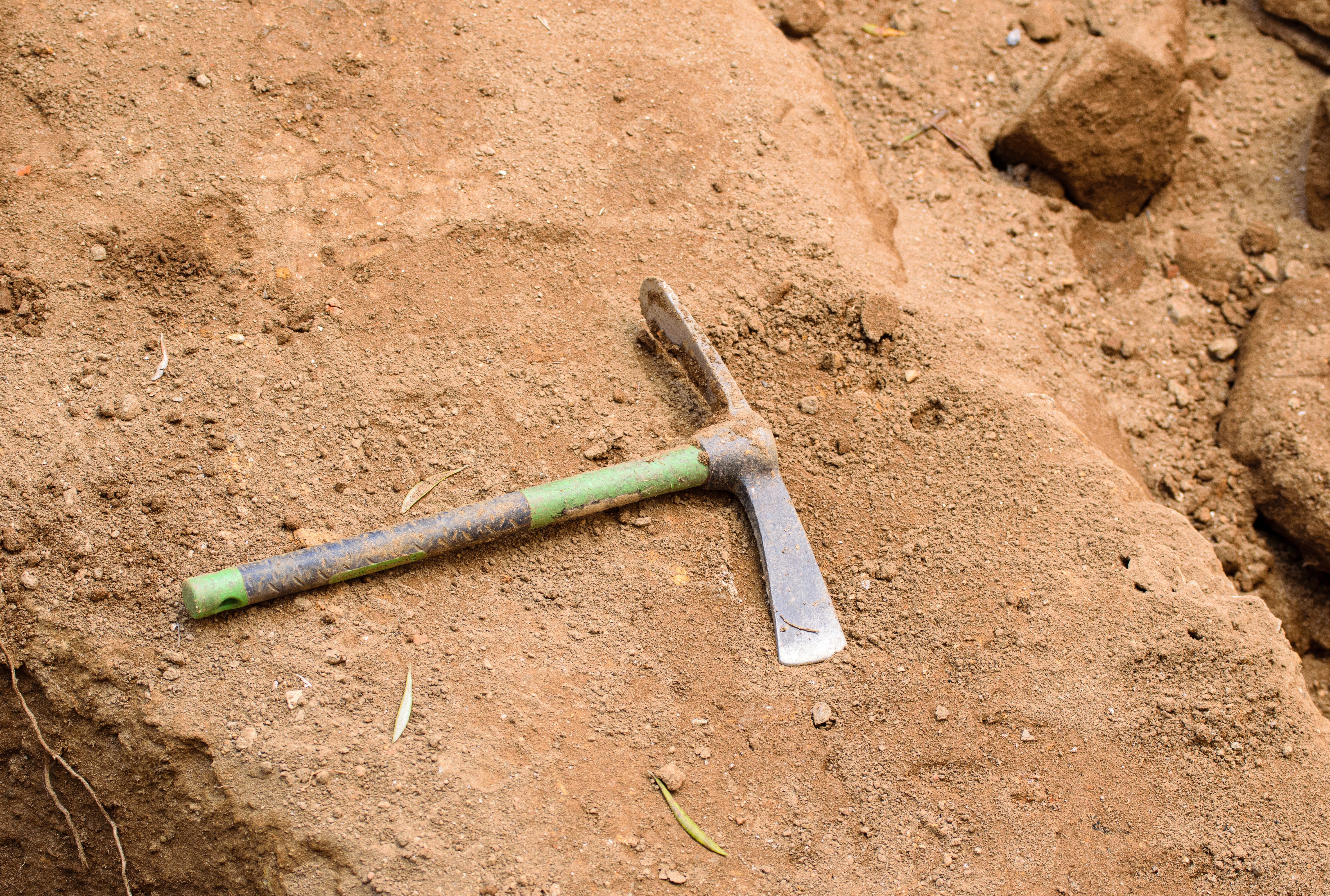
Cultural Resources Survey for Metals Remediation Compliance
ESE Partners supported a cultural resources due diligence survey for a former specialty metals industrial site in Muskogee, Oklahoma.
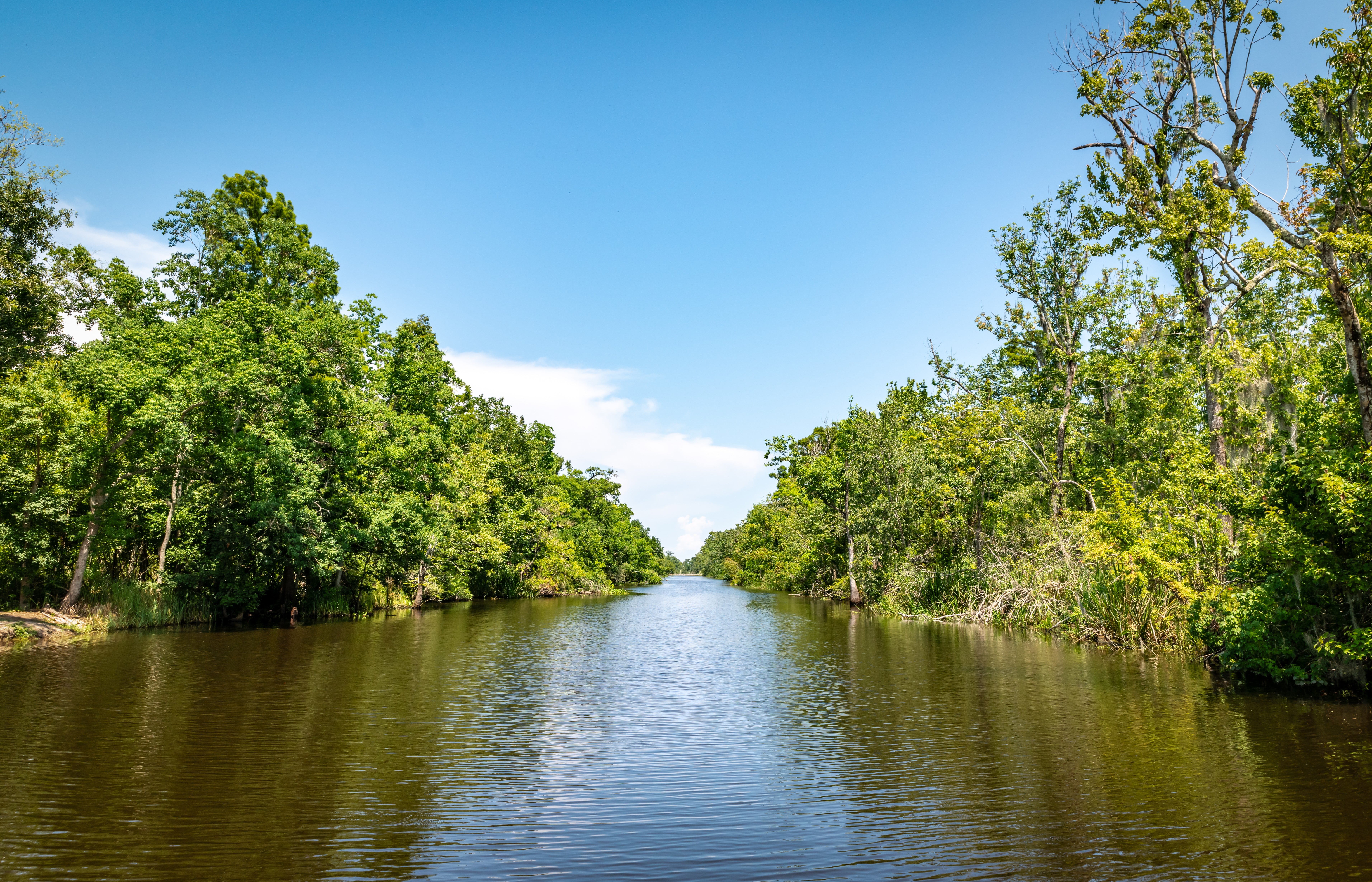
Cultural Resource Monitoring for Emergency River Cleanup Compliance
ESE Partners provided cultural resources monitoring for an emergency environmental cleanup along a 44-mile contaminated river corridor in southeastern Louisiana.
Frequently Asked Questions About Cemetery Delineation and Documentation Services
What is cemetery delineation and documentation?
Cemetery delineation and documentation is a targeted cultural resources and land services effort that confirms the presence of a cemetery or burial area, whether marked or unmarked, and defines the cemetery boundary, including visible and inferred limits. It also maps and documents headstones, markers, surface features, fencing, and access routes. The deliverables support project planning and legal or agency coordination, and typically include mapped exhibits, a report memo, and GIS and CAD layers.
When is cemetery delineation required or recommended?
Cemetery delineation is commonly required or strongly recommended when you are buying, selling, or financing land with rumored or known graves, which can affect title, access, and future use. It also applies when a project footprint approaches a suspected cemetery and you need setbacks or avoidance planning, when you need clearer definition before design, platting, or construction decisions, and when a right-of-way (ROW) or public infrastructure project requires cemetery identification and coordination. Property owners pursuing or coordinating around dedicated cemetery land requirements may also need survey, map, or plat documentation. On transportation and other public projects, agency consultation may be required when interments are more than 50 years old.
What are the risks of skipping cemetery delineation?
Skipping cemetery delineation can lead to design rework and schedule delays when graves are discovered late, during clearing, grading, or utility trenching. Lenders and investors may push back in due diligence when constraints are uncertain or undocumented. Projects also face legal and reputational risk if burials are impacted or access and boundary issues escalate, and ROW or permitting can become complicated when agencies require clearer documentation or consultation support.
What does ESE Partners’ cemetery delineation process look like?
ESE Partners starts with desktop screening and a records review of historical aerials, topographic maps, parcel data, and local references. Our team then completes field reconnaissance to locate visible markers and features such as fencing, depressions, vegetation patterns, and alignment cues, and establishes a defensible boundary from observable features and site context, recommending conservative buffers where uncertainty exists. When needed, we add survey-grade or GPS mapping for exhibits and design constraints. The documentation package includes a photo log, mapped figures, a narrative memo or report, and GIS and CAD files, and we support consultation steps on public, ROW, or agency-driven projects. Exact requirements vary by project funding, permitting, and land ownership, and ESE confirms the right pathway during scoping.