What Is Wetland Delineation?
A wetland delineation is a field-based identification and mapping of wetland boundaries using U.S. Army Corps of Engineers (USACE) methodology—typically documenting the three-parameter approach:
- Hydrophytic vegetation
- Hydric soils
- Wetland hydrology
Deliverables commonly include:
- GPS-mapped wetland linework (and data point locations)
- Data forms/datasheets
- Site figures and photo logs
- A narrative report suitable for agency coordination
Request Your Wetland Delineation Services Today
Texas’ most trusted environmental experts – comprehensive by design.
When Is It Required?
Wetland delineation is typically required or strongly advisable when buying, selling, or financing land that contains drainages, low-lying areas, or mapped wetlands. It is also important when planning site grading, detention facilities, road crossings, utilities, pipelines, transmission lines, or other improvements that could affect wetland or aquatic features. A delineation may be needed to support U.S. Army Corps of Engineers (USACE) verification or to prepare for a potential Clean Water Act Section 404 permitting pathway. Wetland delineation can also support federal or state-funded reviews where wetland impacts may influence permitting requirements, environmental commitments, project design, or schedule.
ESE Partners’ Approach
ESE Partners delivers wetland delineations designed to support transaction speed and permitting clarity. Our team provides fast mobilization with realistic, seasonality-aware field schedules, along with defensible field determinations and documentation that can support agency review. With Texas regulatory familiarity, including experience on large, linear, and multi-tract projects, ESE helps clients understand wetland constraints early in the process. We provide practical guidance on what delineation findings mean for avoidable impacts, permitting scope, design alternatives, and potential schedule or cost risks.
Our Process
- Desktop screening: Review readily available mapping and site context to target field effort and likely constraints.
- Field delineation: Collect vegetation/soil/hydrology observations and map boundary flags/points.
- GIS & Boundary Mapping: Develop figures and shapefiles compatible with engineering and planning teams.
- Delineation Report: Compile methods, data sheets, figures, and photo documentation.
- Agency Coordination Support (Optional): Prepare submittals and support USACE discussions as needed through the regulatory process.
Regulatory Framework
Wetland delineations for federal purposes are generally performed to support U.S. Army Corps of Engineers (USACE) regulatory reviews and potential Clean Water Act authorizations, including Section 404 where applicable. Common technical references used during delineations include USACE wetland delineation guidance, such as the manual and applicable regional supplement for the project area, as well as the NRCS Field Indicators of Hydric Soils in the United States for evaluating hydric soils. National wetland plant references are also used to assess hydrophytic vegetation and support defensible wetland determinations.
Risks of Not Completing This Service
Delaying or skipping a delineation can create avoidable business risk:
- Deal delays when lenders, buyers, or agencies request wetland boundaries late
- Design rework after wetlands are confirmed (grading, detention, roadway alignments)
- Permitting surprises if impacts trigger additional coordination or permit needs
- Cost escalation from compressed schedules, re-surveys, or avoidable mitigation exposure
More Natural Resources Services

Protected Species and Wildlife
ESE Partners provides a wide range of protected species and other wildlife-related services to our clients. ESE’s seasoned Biologists are permitted to conduct presence/absence surveys for federally endangered species and habitat assessments. We have conducted acoustic monitoring and analysis in multiple states for a wide variety of bat and herpetological species. We provide natural resource assessments and federal and state regulatory consultation services as required by our clients’ projects.

Regulatory and Planning Documentation
ESE is experienced with a variety of reporting and field investigations required under the National Environmental Policy Act (NEPA) including Environmental Assessments and Categorical Exclusions and other similar studies requested by our clients. ESE conducts Critical Issues Analyses and Site Characterization Studies for a variety of clients, but primarily for proposed renewable energy development. ESE is experienced with studies required by municipalities, including but not limited to, Environmental Resource Inventories required by the City of Austin.
Industries We Serve
ESE operates in a wide range of industries, all with unique needs and regulatory obligations. We offer experts who understand the broad complexity of environmental challenges faced by today’s businesses.

Real Estate Brokers & Developers
ESE helps brokers and developers reduce deal friction and avoid surprises through fast, defensible environmental due diligence. We support property evaluations, redevelopment risk screening, and transaction-ready reporting for Texas assets.

Private Equity/Capital Investors
Transaction support for acquisitions and portfolio oversight, including Phase I/II ESAs and risk-based evaluation. We provide clear findings, practical recommendations, and scalable diligence support.

Financial Institutions
ESE supports lender-driven environmental due diligence and portfolio risk management, including Phase I/II ESAs and risk screening. We deliver consistent, defensible reporting aligned with credit and closing timelines.

Attorneys
Technical support for environmental risk, liability evaluation, and regulatory strategy. We provide clear documentation and expert collaboration to support transactions, compliance matters, and remediation planning.
Why ESE Partners
Clients choose ESE because we combine Texas-first delivery across Houston, Dallas–Fort Worth, Austin, San Antonio, and statewide markets with a comprehensive environmental platform. Our services span due diligence, permitting, compliance, remediation, natural resources, and building sciences, allowing clients to coordinate related project needs through one team. ESE provides responsive communication with clear findings and practical next steps for deal teams, developers, lenders, and project stakeholders. We also offer scalable support for commercial real estate portfolios and large infrastructure or energy footprints across Texas.
Need a wetland delineation to keep your project or transaction moving?
Talk to ESE Partners today for a scoped proposal and schedule—so you can confirm boundaries early, protect your timeline, and reduce permitting uncertainty.
Our Natural Resource Projects
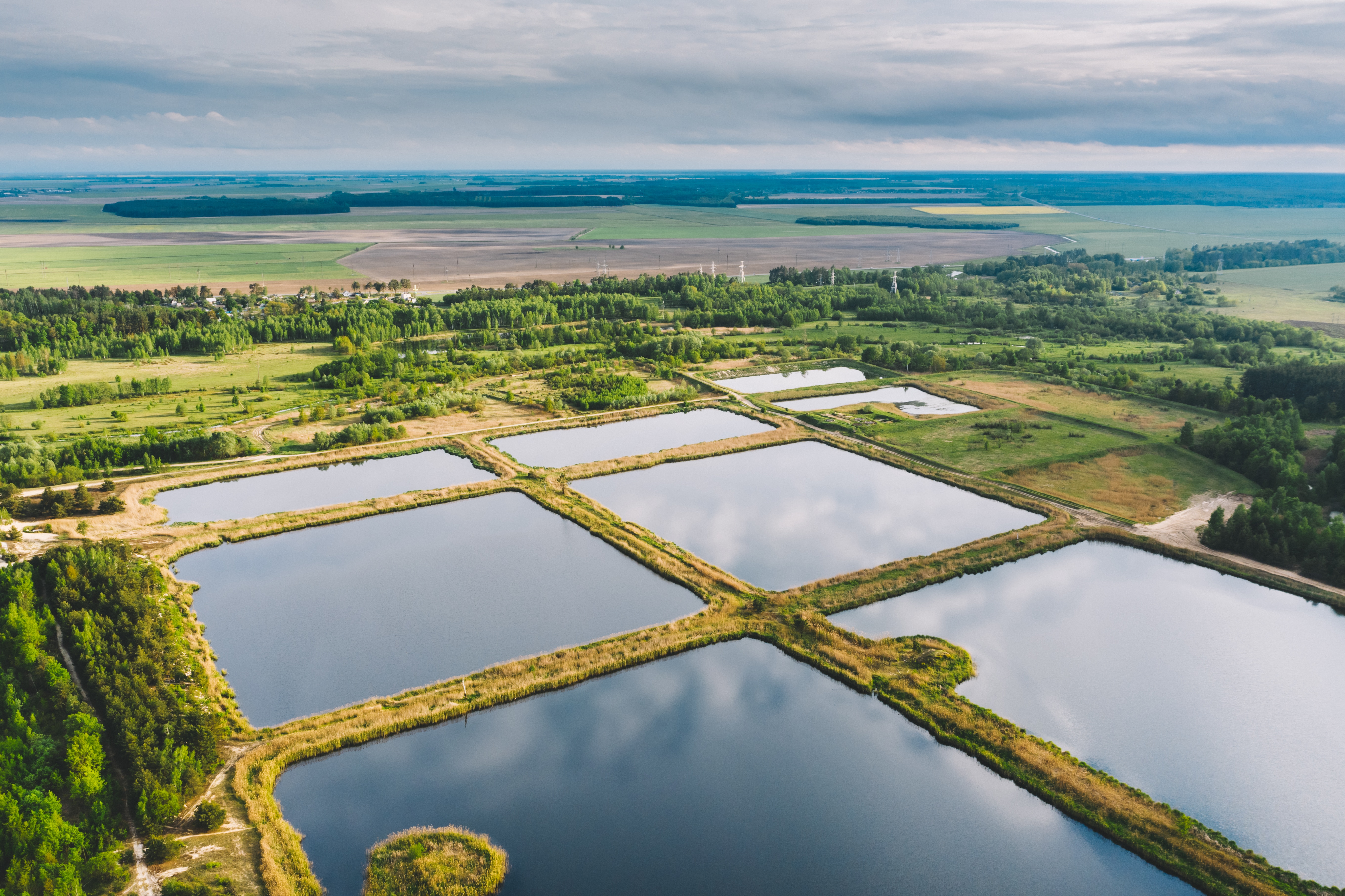
WOTUS Delineation for Proposed Stormwater Detention Improvements
ESE conducted a comprehensive Water Resources Evaluation for an approximately 102-acre tract to support planned stormwater detention improvements and assess potential impacts to Waters of the United States under Section 404 of the Clean Water Act.
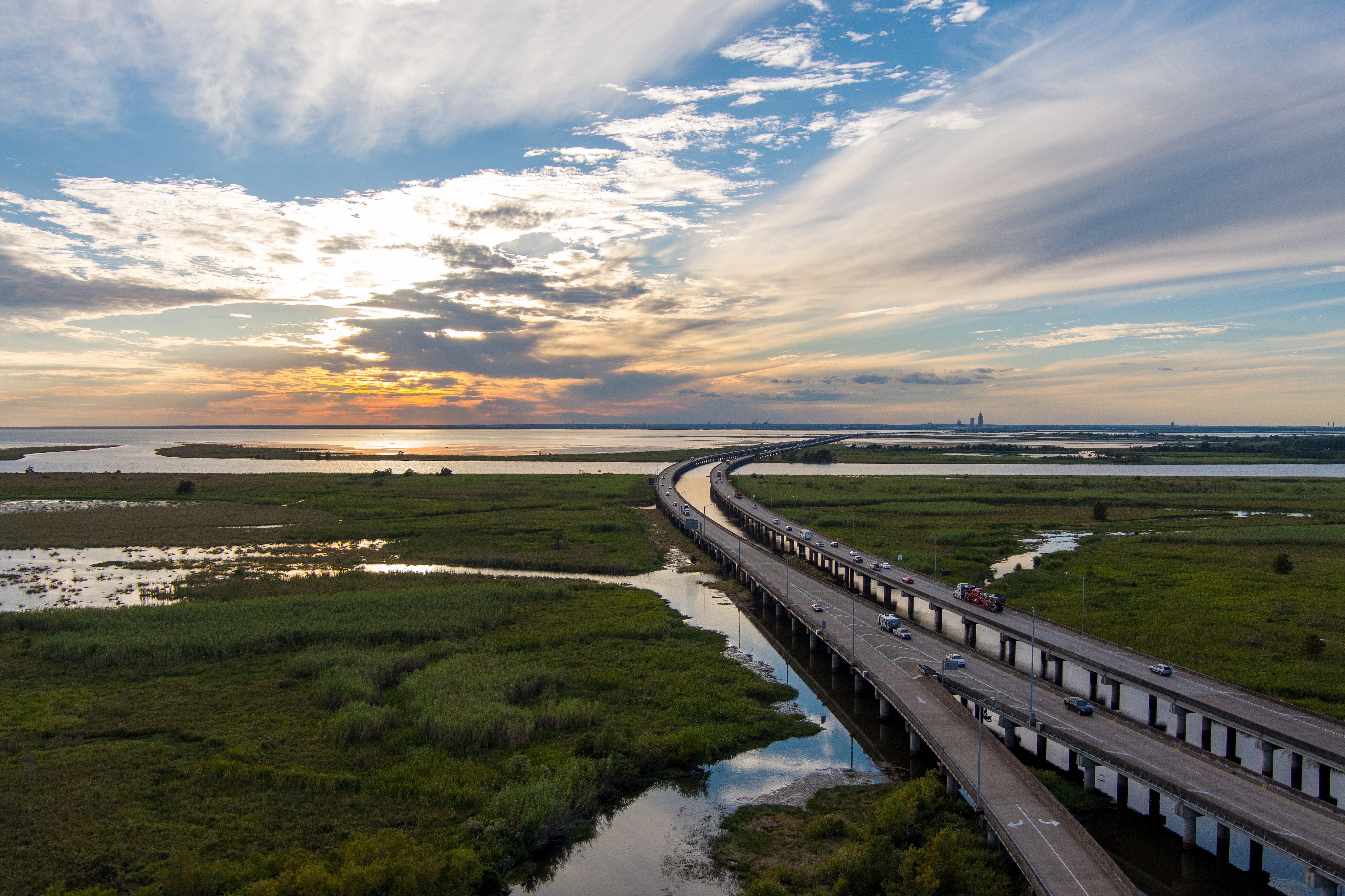
Comprehensive Water Resources Evaluation for Linear Transportation Corridor
ESE conducted a comprehensive Wetland and Waters of the United States evaluation along an approximately 16-mile coastal transportation corridor in South Texas to support ongoing infrastructure planning and regulatory coordination.
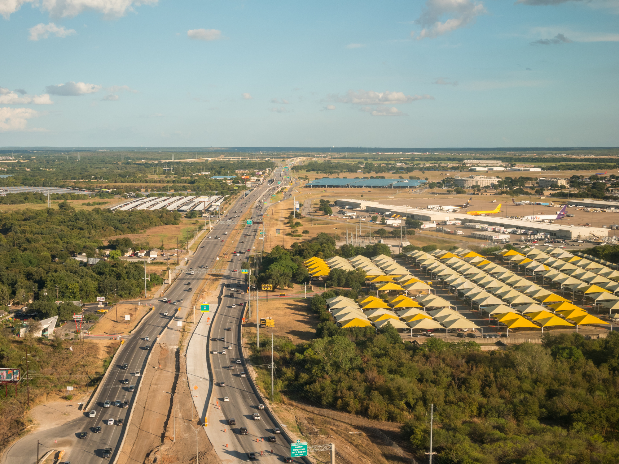
City of Austin ERI
ESE prepared a City of Austin Environmental Resources Inventory (ERI) to fulfill City of Austin requirements and support the project’s planning and development for regional airport parking.
Frequently Asked Questions About Wetland Delineation Services
What is a wetland delineation and what does it include?
A wetland delineation is a field-based identification and mapping of wetland boundaries using U.S. Army Corps of Engineers (USACE) methodology — typically documenting the three-parameter approach of hydrophytic vegetation, hydric soils, and wetland hydrology. Deliverables commonly include GPS-mapped wetland linework (and data point locations), data forms/datasheets, site figures and photo logs, and a narrative report suitable for agency coordination. In essence, wetland delineation is the on-the-ground process of identifying where wetlands begin and end so your project team can design, permit, and close deals with clear, defensible boundaries before agency review slows your schedule.
When is a wetland delineation required or advisable for my project?
Wetland delineation is typically required or strongly advisable when buying, selling, or financing land that contains drainages, low-lying areas, or mapped wetlands. It is also important when planning site grading, detention facilities, road crossings, utilities, pipelines, transmission lines, or other improvements that could affect wetland or aquatic features. A delineation may be needed to support U.S. Army Corps of Engineers (USACE) verification or to prepare for a potential Clean Water Act Section 404 permitting pathway, and can also support federal or state-funded reviews where wetland impacts may influence permitting requirements, environmental commitments, project design, or schedule.
What does ESE Partners' wetland delineation process look like?
ESE Partners delivers wetland delineations designed to support transaction speed and permitting clarity — providing fast mobilization with realistic, seasonality-aware field schedules, along with defensible field determinations and documentation that can support agency review. The process includes: desktop screening (reviewing readily available mapping and site context to target field effort and likely constraints); field delineation (collecting vegetation/soil/hydrology observations and mapping boundary flags/points); GIS and boundary mapping (developing figures and shapefiles compatible with engineering and planning teams); a delineation report (compiling methods, data sheets, figures, and photo documentation); and optional agency coordination support (preparing submittals and supporting USACE discussions as needed through the regulatory process). Common technical references used during delineations include USACE wetland delineation guidance (the manual and applicable regional supplement), the NRCS Field Indicators of Hydric Soils in the United States, and national wetland plant references to support defensible determinations.
What are the risks of delaying or skipping a wetland delineation?
Delaying or skipping a delineation can create avoidable business risk, including deal delays when lenders, buyers, or agencies request wetland boundaries late, design rework after wetlands are confirmed (grading, detention, roadway alignments), permitting surprises if impacts trigger additional coordination or permit needs, and cost escalation from compressed schedules, re-surveys, or avoidable mitigation exposure. In Texas, a timely delineation is often the difference between a clean entitlement path and late-stage redesign.