PROJECT OVERVIEW
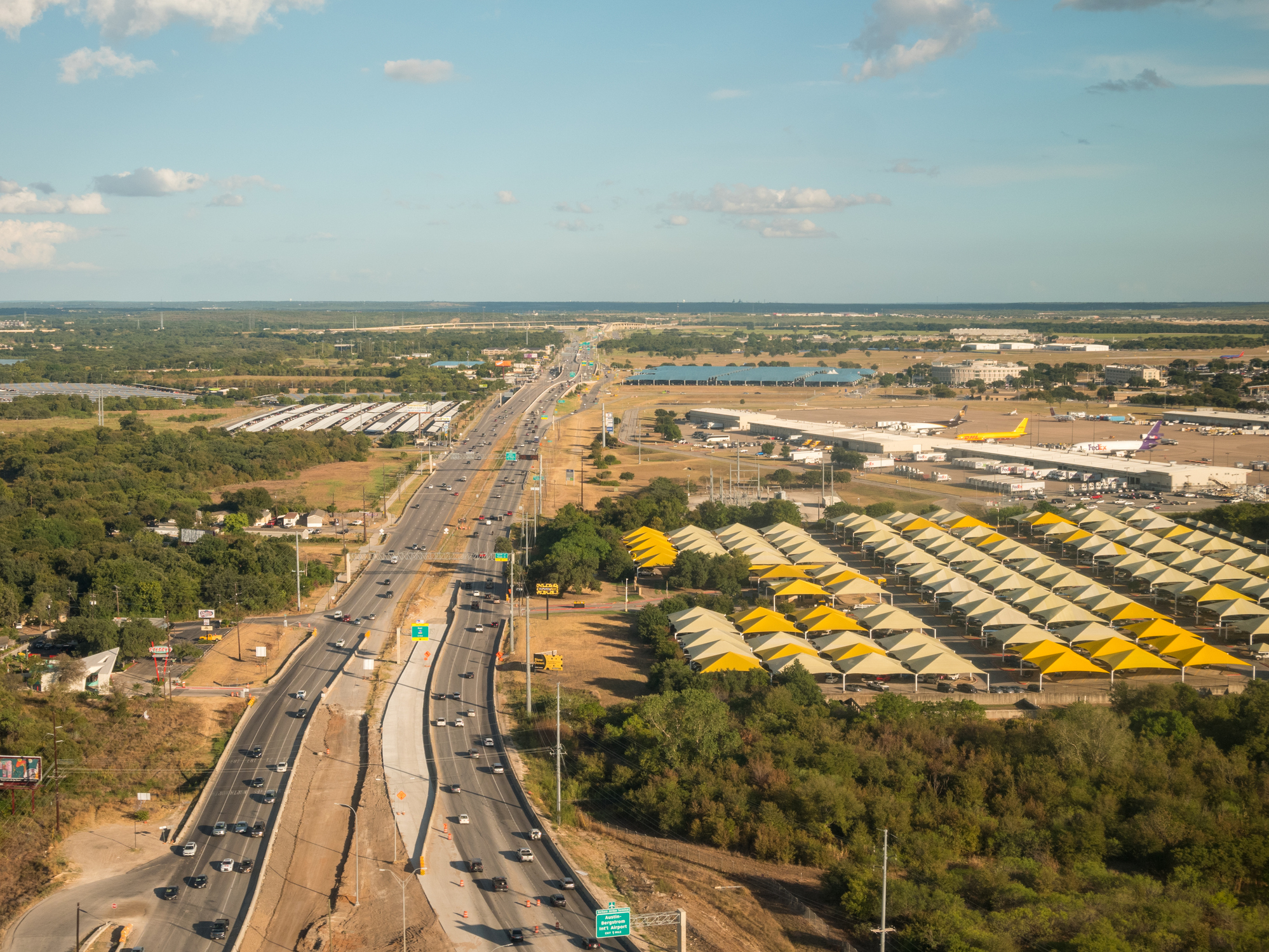
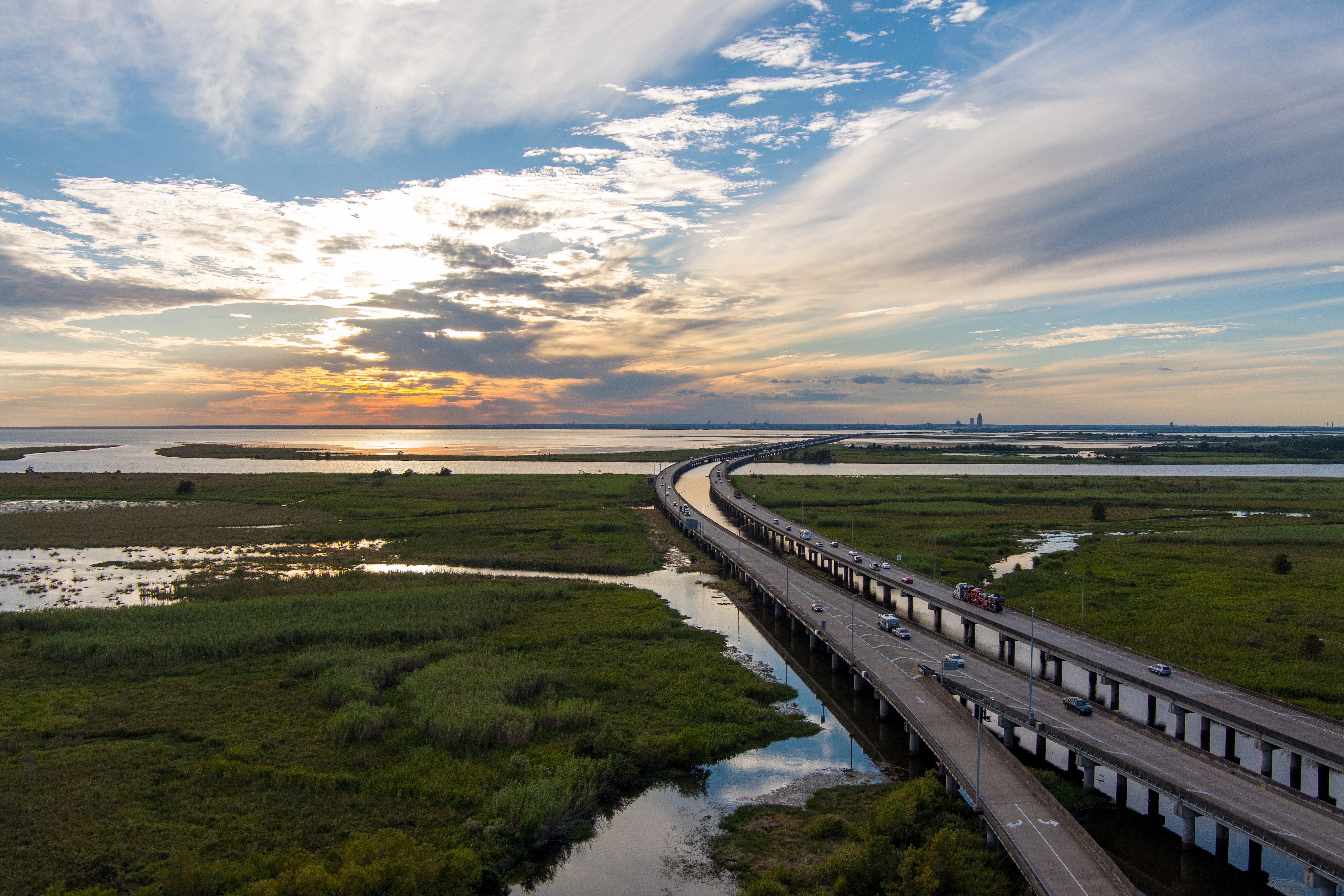
ESE conducted a comprehensive Wetland and Waters of the United States evaluation along an approximately 16-mile coastal transportation corridor in South Texas to support ongoing infrastructure planning and regulatory coordination. The objective was to identify and delineate aquatic features within the existing right of way, evaluate potential jurisdiction under the Clean Water Act and Section 10 of the River and Harbors Act, and provide a defensible technical basis for future permitting decisions. Given the corridor’s location within a dynamic coastal setting influenced by tidal systems, floodplain processes, and hypersaline environments, regulatory clarity was critical to maintaining schedule certainty.
CHALLENGES
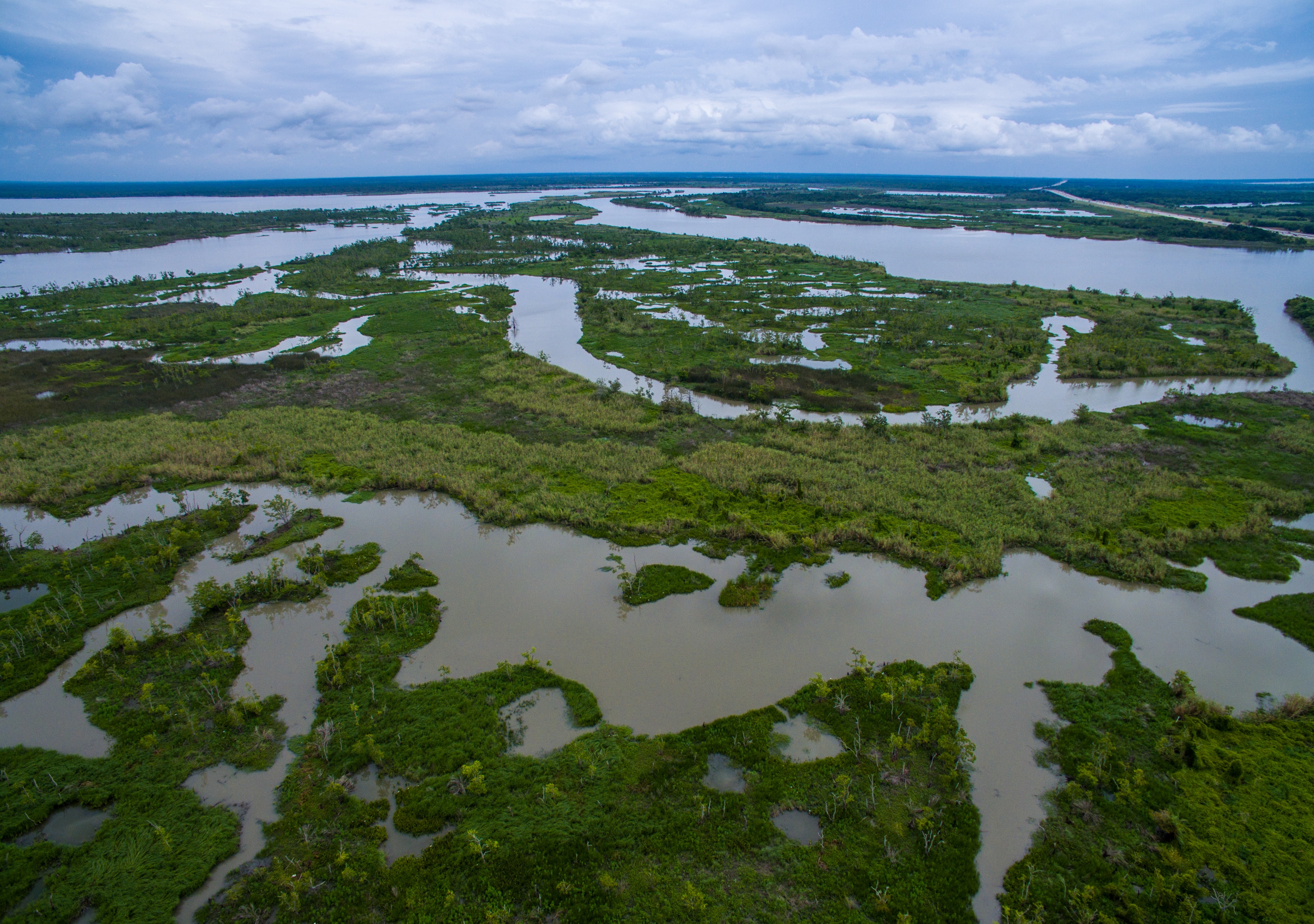
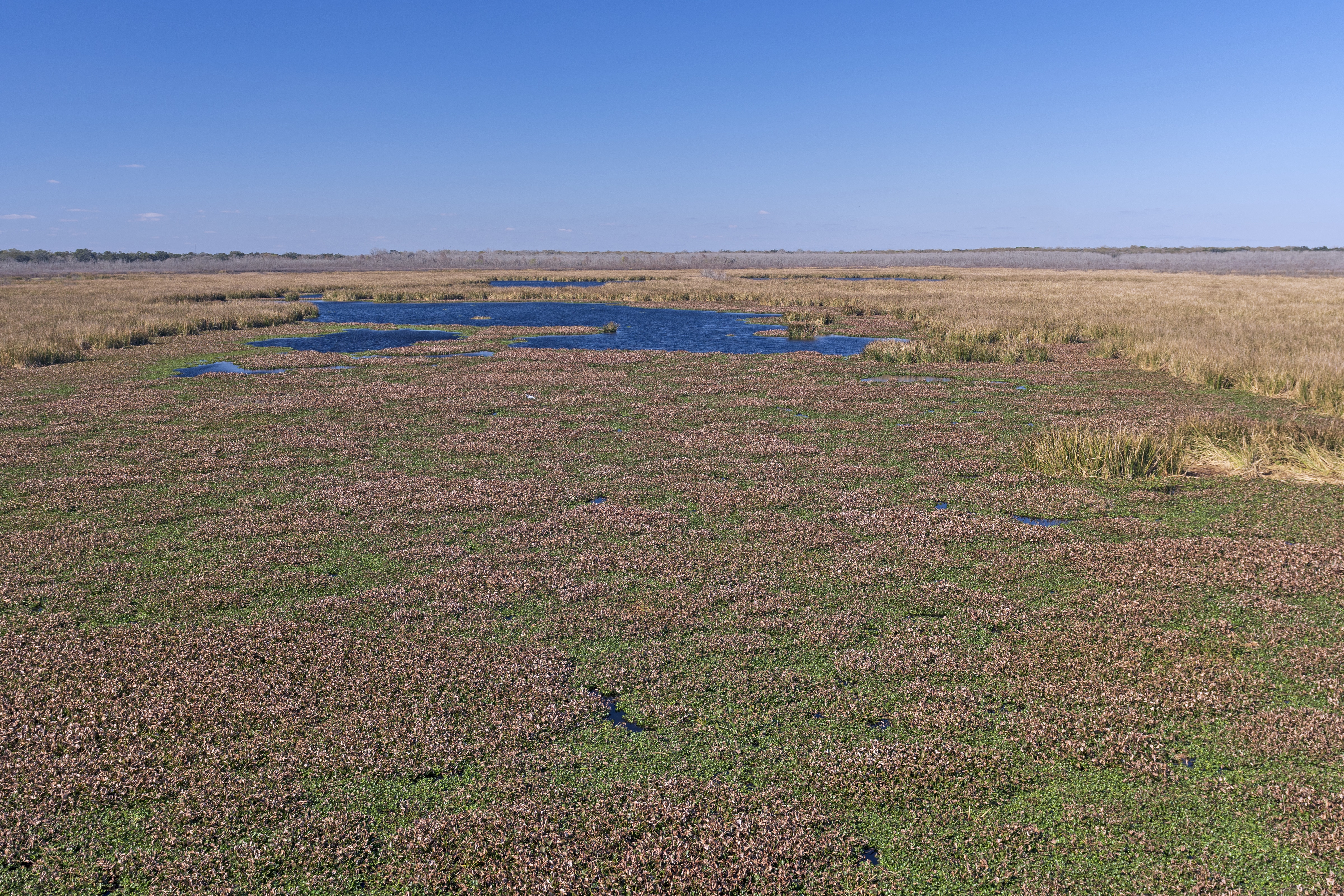
The corridor traverses multiple coastal ecoregions characterized by tidal mudflats, saline prairies, clay dunes, roadside drainage features, and mapped floodplain areas. Desktop review identified numerous National Wetlands Inventory features, hydric soils, and mapped flood hazard zones, while watershed analysis confirmed proximity to tidal systems directly connected to the Gulf of Mexico. Elevation changes across the alignment ranged from higher loma features to low-lying tidal flats, increasing the complexity of determining surface connectivity and potential jurisdiction. Because portions of the corridor occur within mapped 100-year floodplain and coastal storm surge zones, distinguishing jurisdictional tidal waters and special aquatic sites from non-jurisdictional roadside features was essential to reducing development risk.
ESE’S APPROACH
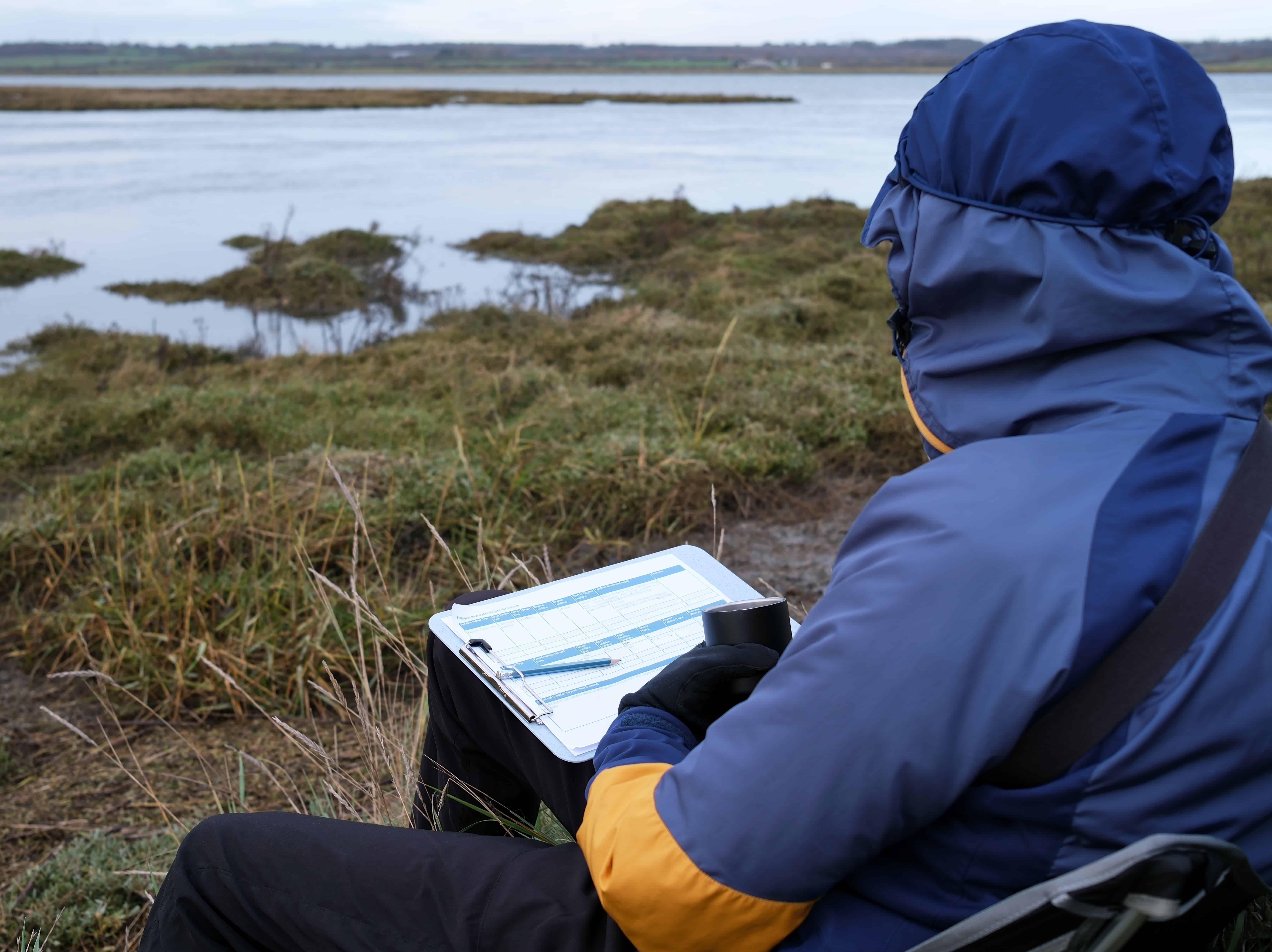
ESE performed a detailed map and database review including USGS topographic mapping, National Hydrography Dataset analysis, National Wetlands Inventory mapping, NRCS soil surveys, FEMA Flood Insurance Rate Maps, LiDAR elevation modeling, and long-term precipitation data using the USACE Antecedent Precipitation Tool. Field investigations were conducted across multiple seasons to evaluate hydrology under varying climatic conditions. Wetlands were delineated in accordance with the 1987 USACE Wetlands Delineation Manual and the applicable Regional Supplement using the three-parameter methodology of hydrology, vegetation, and soils. Waterbodies were evaluated for Ordinary High Water Marks and tidal influence, and all features were mapped using sub-meter GPS in accordance with Galveston District standards. Connectivity to tidal systems and downstream waters was carefully assessed to support a defensible jurisdictional opinion.
KEY FINDINGS
- Multiple drainage canals exhibited direct surface connectivity to tidal systems and were determined likely jurisdictional under Section 404
- Several tidal mudflat features were identified as special aquatic sites with surface connections to estuarine waters
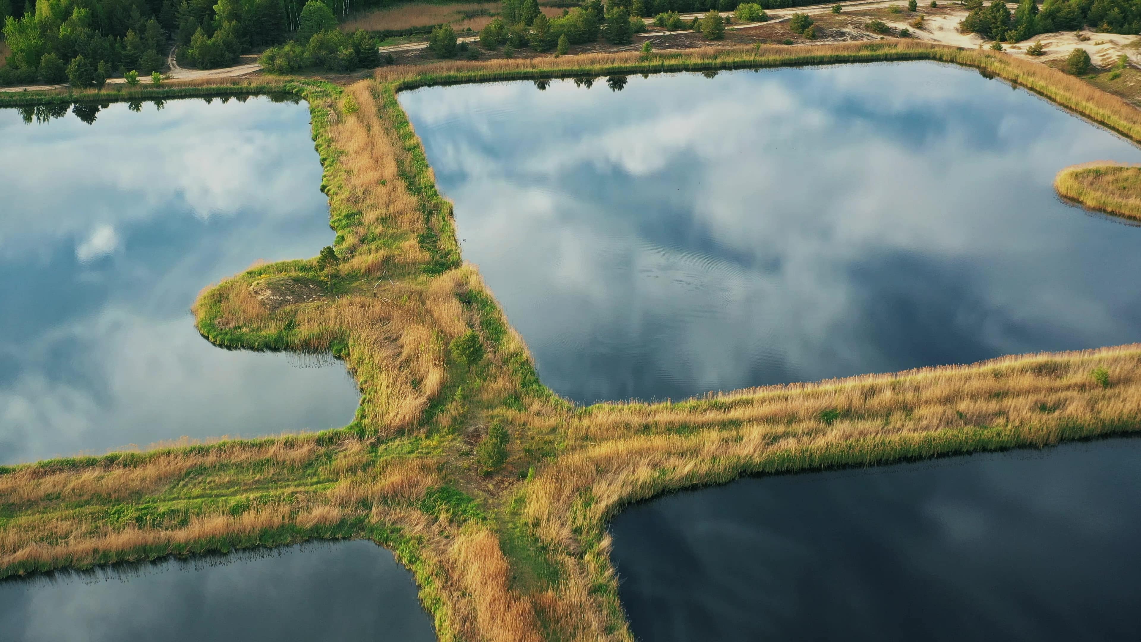
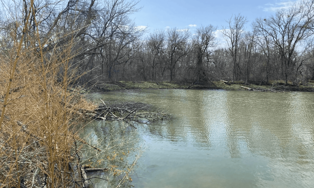
- Roadside emergent wetlands were delineated within constructed ditches but were determined likely non-jurisdictional due to isolation or lack of connection to relatively permanent waters
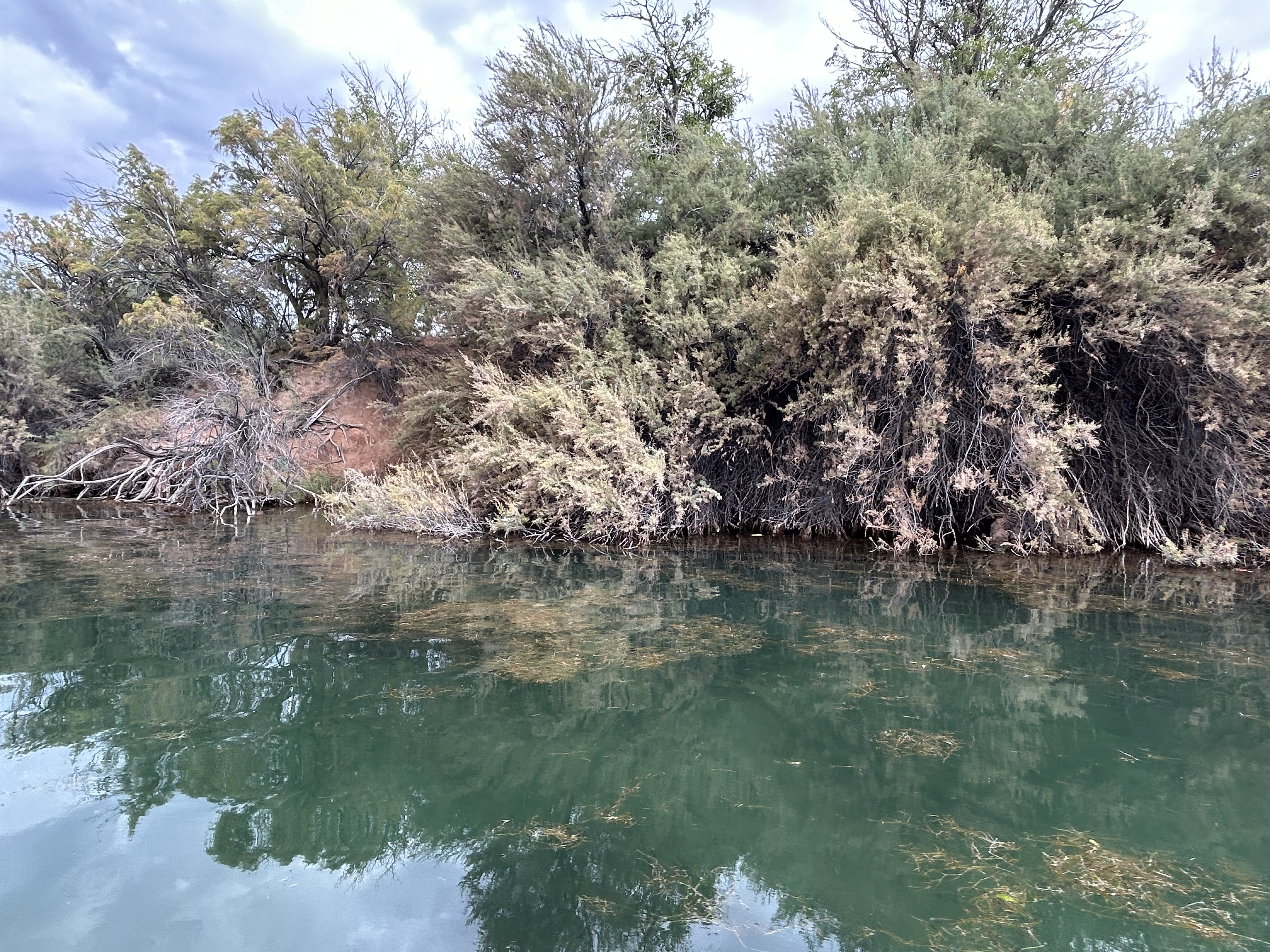
- A scrub-shrub drainage feature conveyed flow to a closed basin and was determined likely non-jurisdictional
PROJECT IMPACT
By clearly distinguishing jurisdictional tidal waters and special aquatic sites from isolated roadside wetlands and upland drainage features, ESE provided the client with regulatory certainty across a highly sensitive coastal corridor. The evaluation reduced the potential for unexpected federal permitting triggers, informed design decisions in flood-prone areas, and established a defensible compliance framework aligned with current WOTUS guidance. This project reflects ESE’s Texas First approach by combining technical precision, coastal regulatory expertise, and practical risk management to keep complex infrastructure projects moving forward with confidence.