PROJECT OVERVIEW
ESE conducted a Wetland and Waters of the United States delineation for an approximately 22-acre tract in Harris County to support evaluation of a proposed regional stormwater basin. The objective was to identify aquatic features within the property, assess jurisdictional status under the Clean Water Act, and provide a defensible technical foundation for future permitting and design decisions. Because the site lies within an established drainage network and mapped floodplain, regulatory clarity was essential to advancing stormwater infrastructure planning with confidence.
CHALLENGES
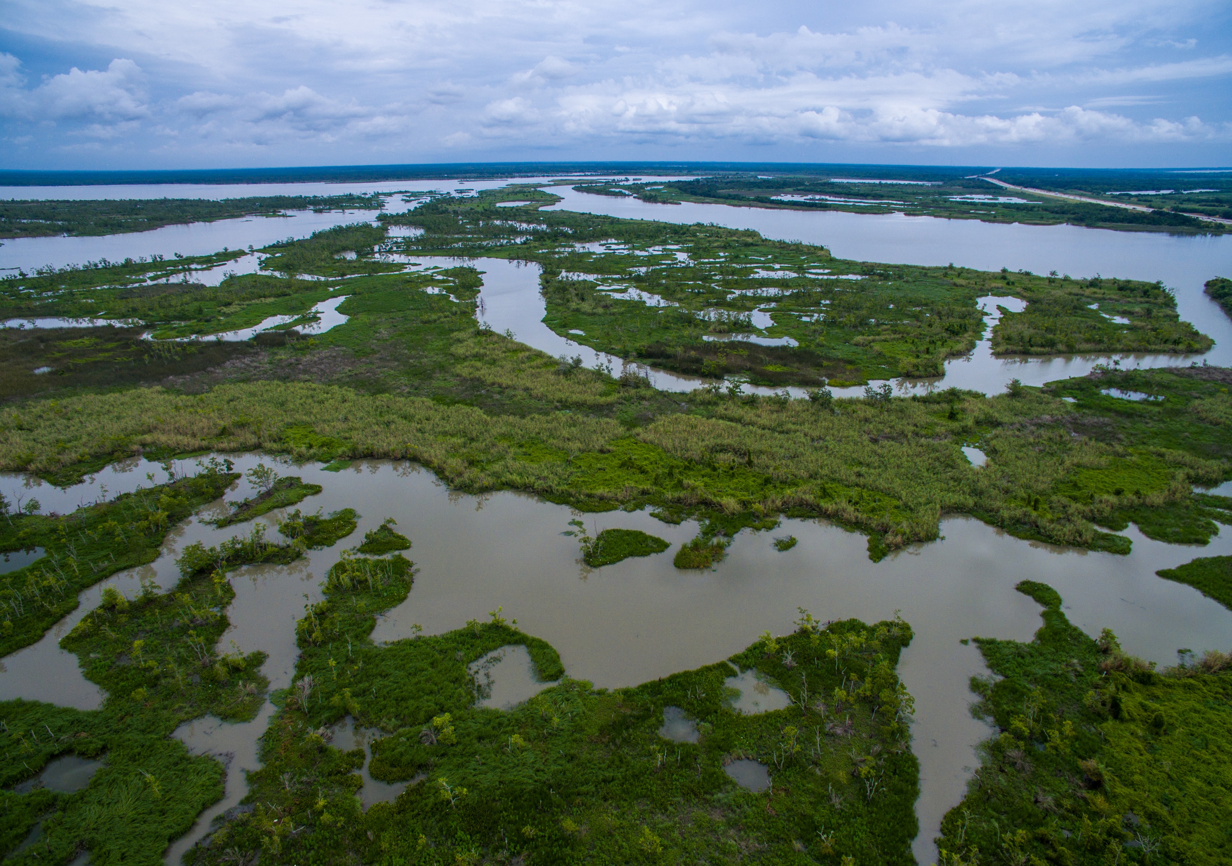
The property consists of undeveloped woodland within the Northern Humid Gulf Coastal Prairies and is entirely mapped within the 100-year and 500-year floodplain, with a significant portion designated as regulatory floodway. Topography slopes toward a central tributary channel that conveys flow southeast to a larger creek system and ultimately to the San Jacinto River watershed. Desktop analysis identified hydric soils across the site and a mapped intermittent stream, increasing the need to distinguish upland swales from jurisdictional waters. Because regional stormwater basin development requires careful coordination with federal regulators, accurately characterizing stream flow duration, connectivity, and floodplain dynamics was critical to reducing downstream permitting risk.
ESE’S APPROACH
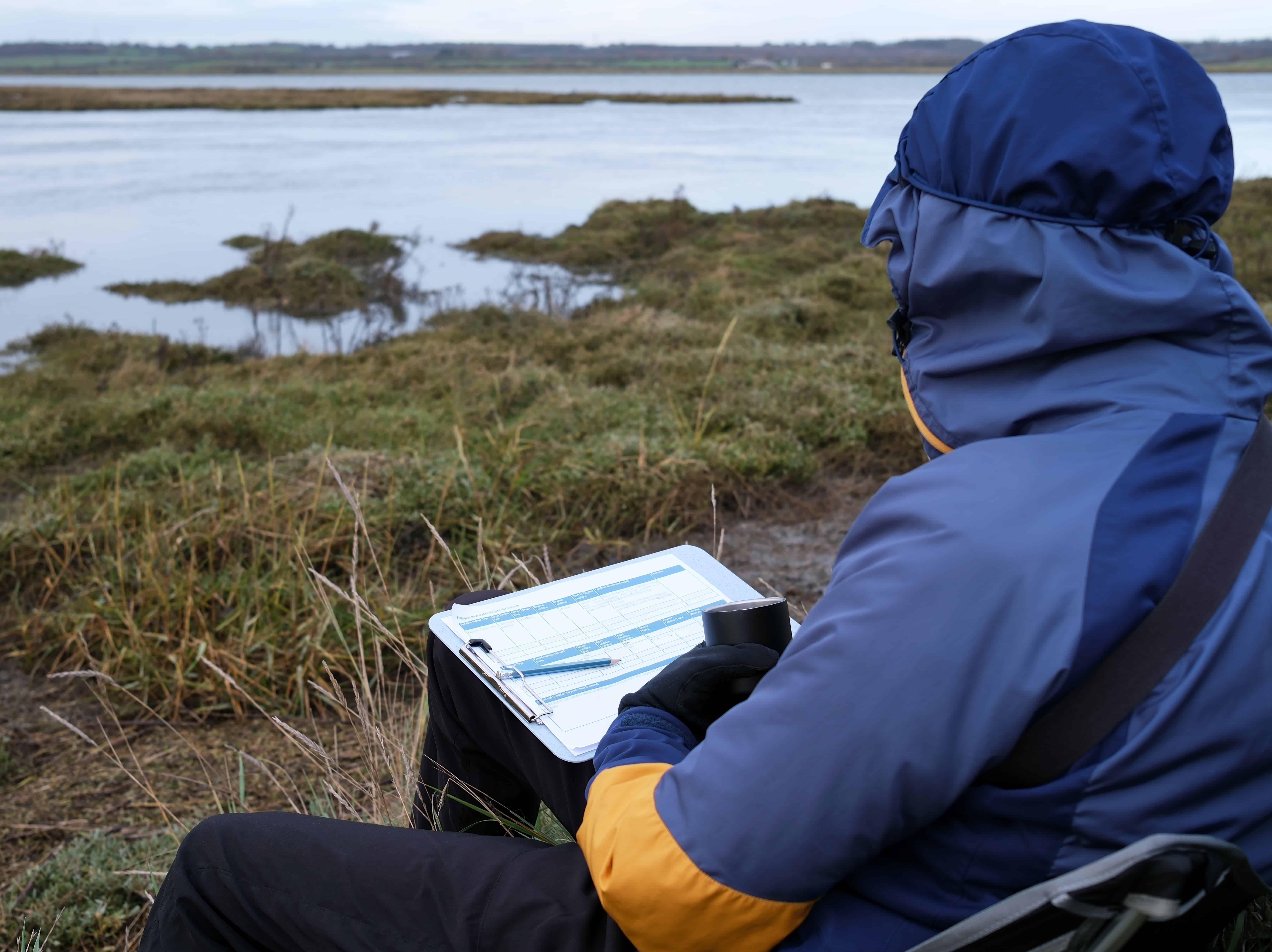
ESE performed a comprehensive map and database review including USGS topographic mapping, National Hydrography Dataset analysis, National Wetlands Inventory mapping, NRCS soil surveys, FEMA Flood Insurance Rate Maps, LiDAR elevation modeling, and precipitation data using the USACE Antecedent Precipitation Tool. Field delineation was completed during the wet season under drier than normal conditions and included evaluation of Ordinary High Water Mark indicators, stream order, drainage area, and channel morphology. Streamflow duration was assessed using the Beta Streamflow Duration Assessment Method to support classification. Wetland determinations followed the 1987 USACE Wetlands Delineation Manual and the applicable Regional Supplement using the three-parameter methodology of hydrology, vegetation, and soils. All aquatic features were mapped with sub-meter GPS in accordance with Galveston District standards.
KEY FINDINGS
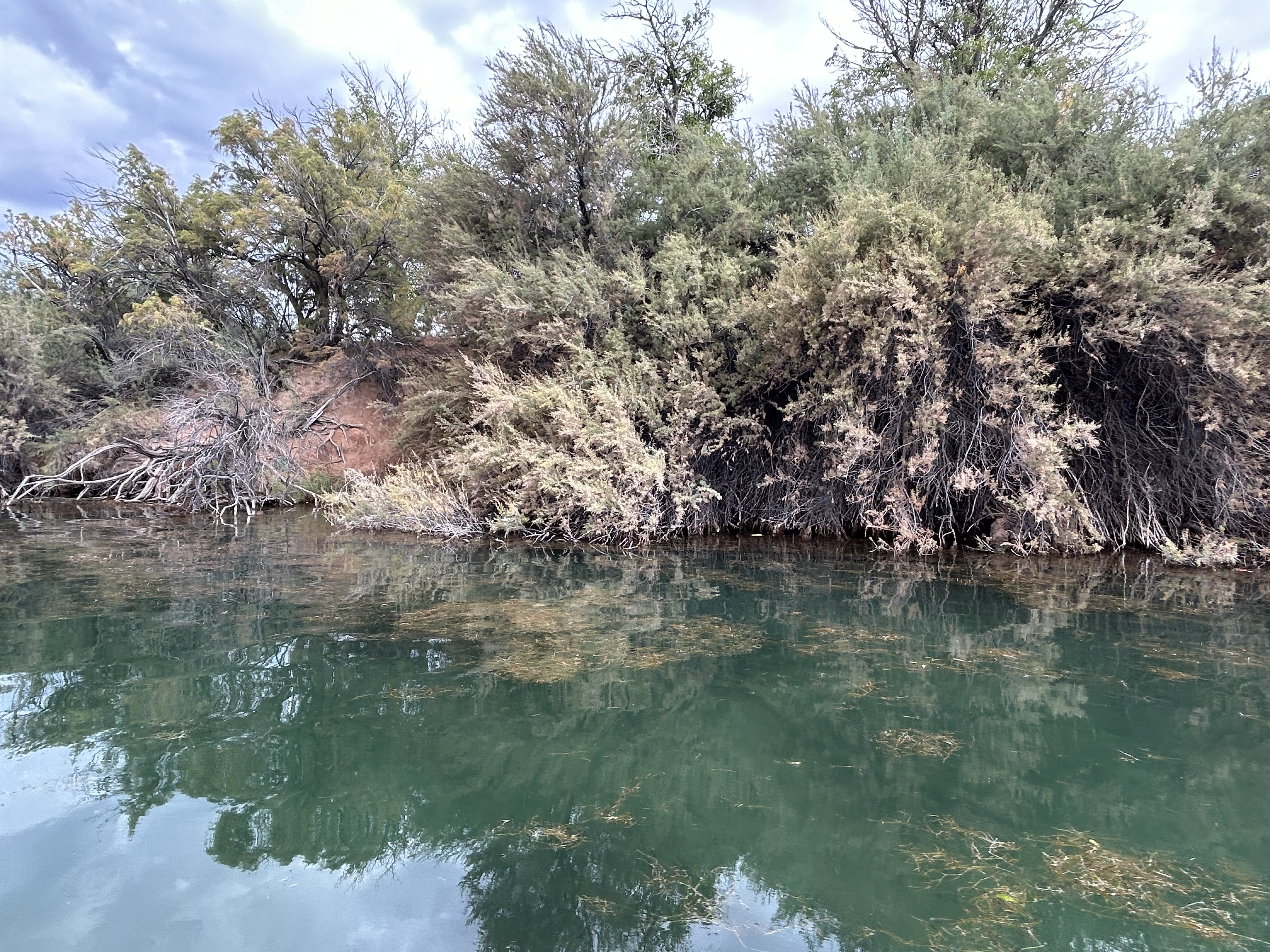
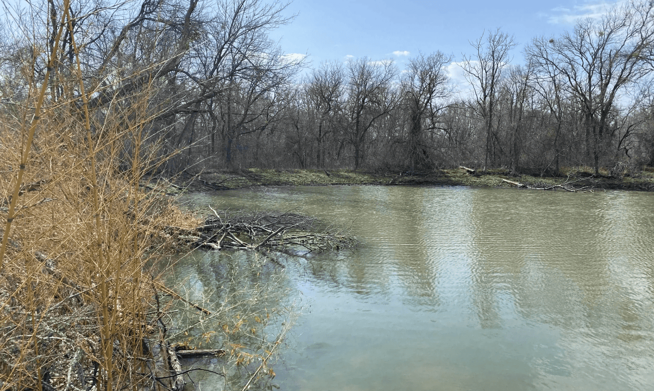
- One third-order intermittent tributary was identified within the property and classified as at least intermittent based on channel characteristics and drainage area
- The tributary exhibits a direct surface connection to a relatively permanent downstream water and is likely jurisdictional under Section 404
- Adjacent swales and wooded areas did not meet wetland criteria and lacked Ordinary High Water Mark indicators
- No waters were determined likely subject to Section 10 of the River and Harbors Act
PROJECT IMPACT
By clearly identifying the intermittent tributary as a likely jurisdictional water and distinguishing upland features from regulated waters, ESE provided the project team with early regulatory certainty within a floodplain setting. The delineation supports informed stormwater basin design, proactive coordination with the U.S. Army Corps of Engineers, and strategic planning to avoid unnecessary impacts and delays. This project reflects ESE’s Texas First approach by pairing technical rigor with practical development strategy to help critical infrastructure move forward efficiently and responsibly.