PROJECT OVERVIEW
ESE conducted a comprehensive Critical Issues Analysis for approximately 1.5 miles of proposed sewer rehabilitation within a highly urbanized corridor in North Texas. The objective was to identify environmental constraints, regulatory triggers, and permitting requirements early in project development in order to reduce risk, protect schedule, and inform engineering design decisions prior to construction.
CHALLENGES
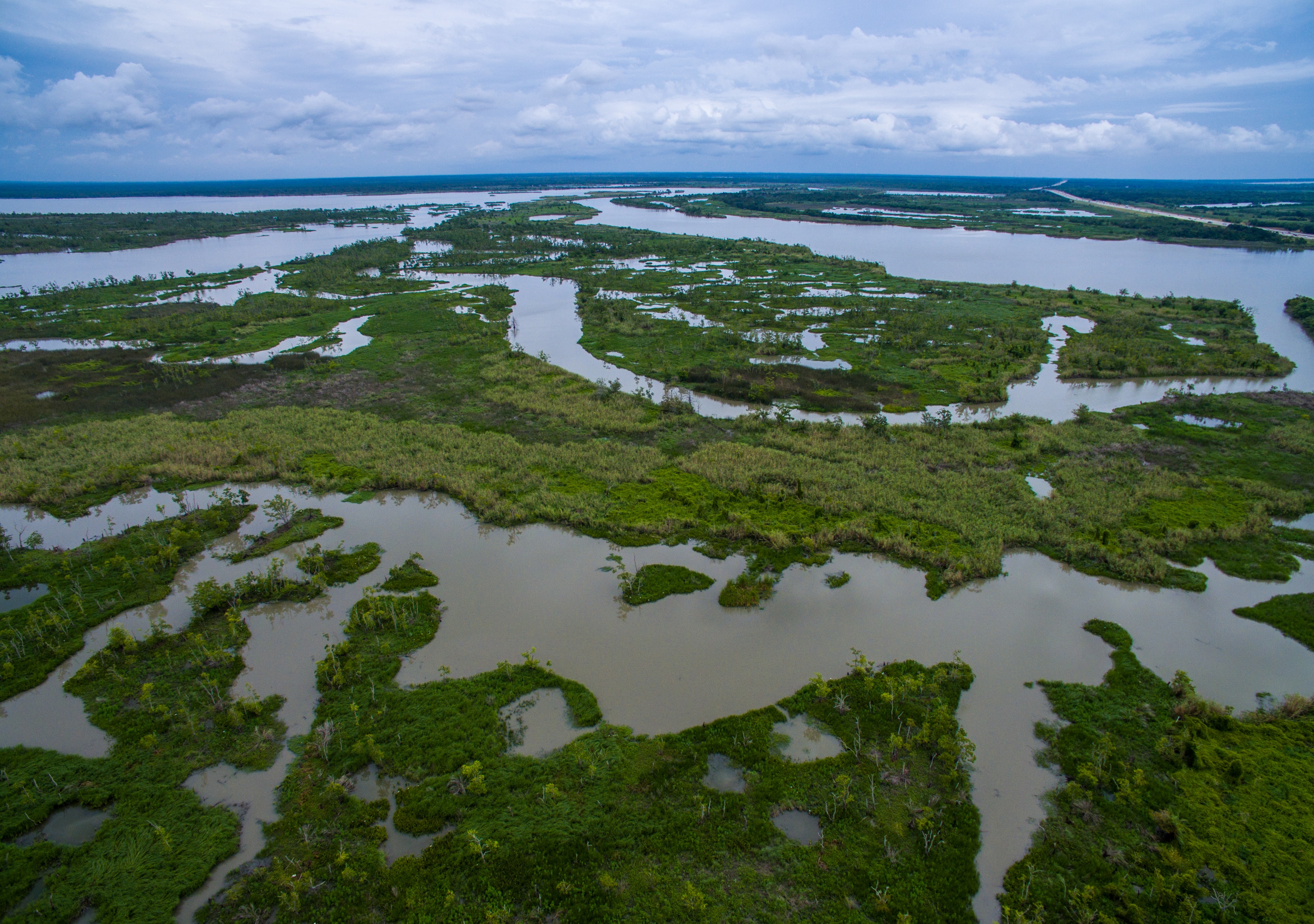
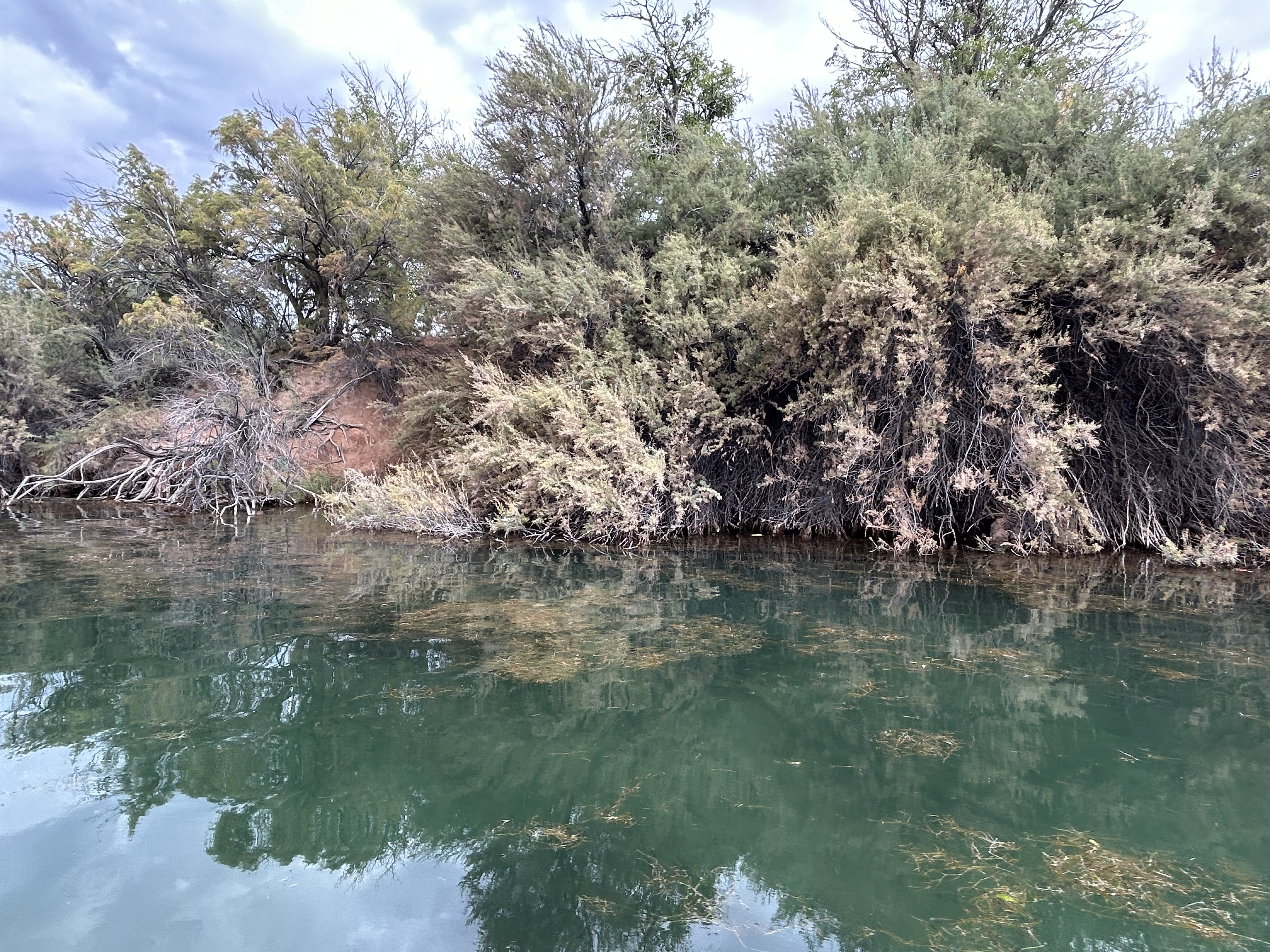
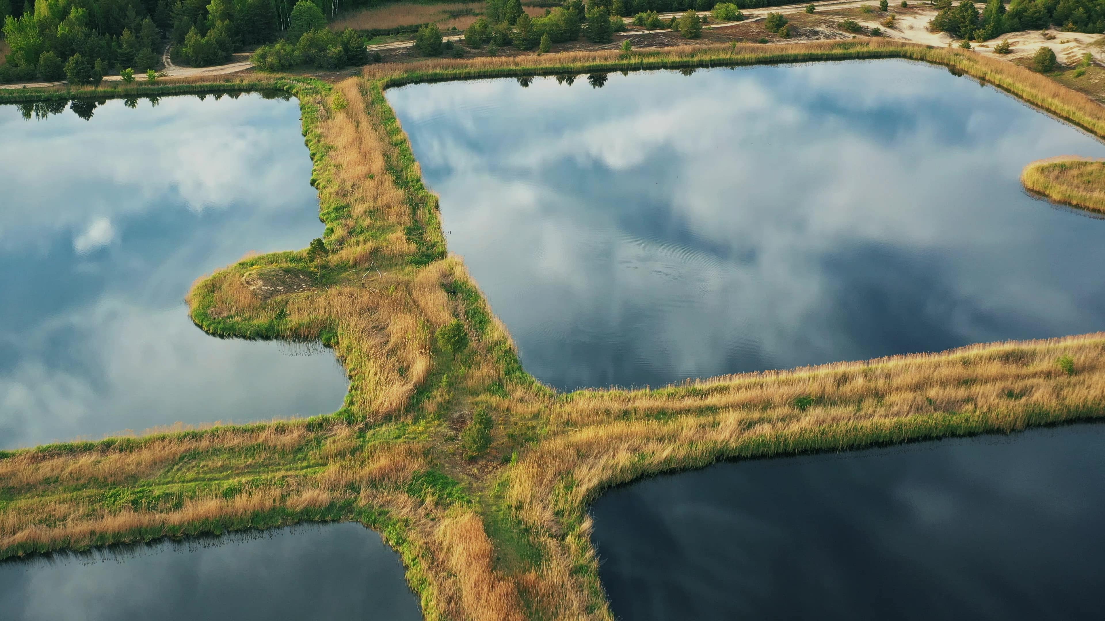
Although the alignment was primarily located within existing right of way and previously disturbed areas, the project intersected parkland, conservation easements, mapped floodplain, and soils classified as prime farmland or farmland of statewide importance. The corridor also required evaluation of biological resources, potential Waters of the United States jurisdiction, cultural resource obligations under state law, hazardous materials databases, and municipal zoning consistency. Because the project sponsor qualified as a political subdivision of the State of Texas, compliance with the Antiquities Code of Texas was triggered, requiring coordination with the Texas Historical Commission prior to ground disturbance.
ESE’S APPROACH
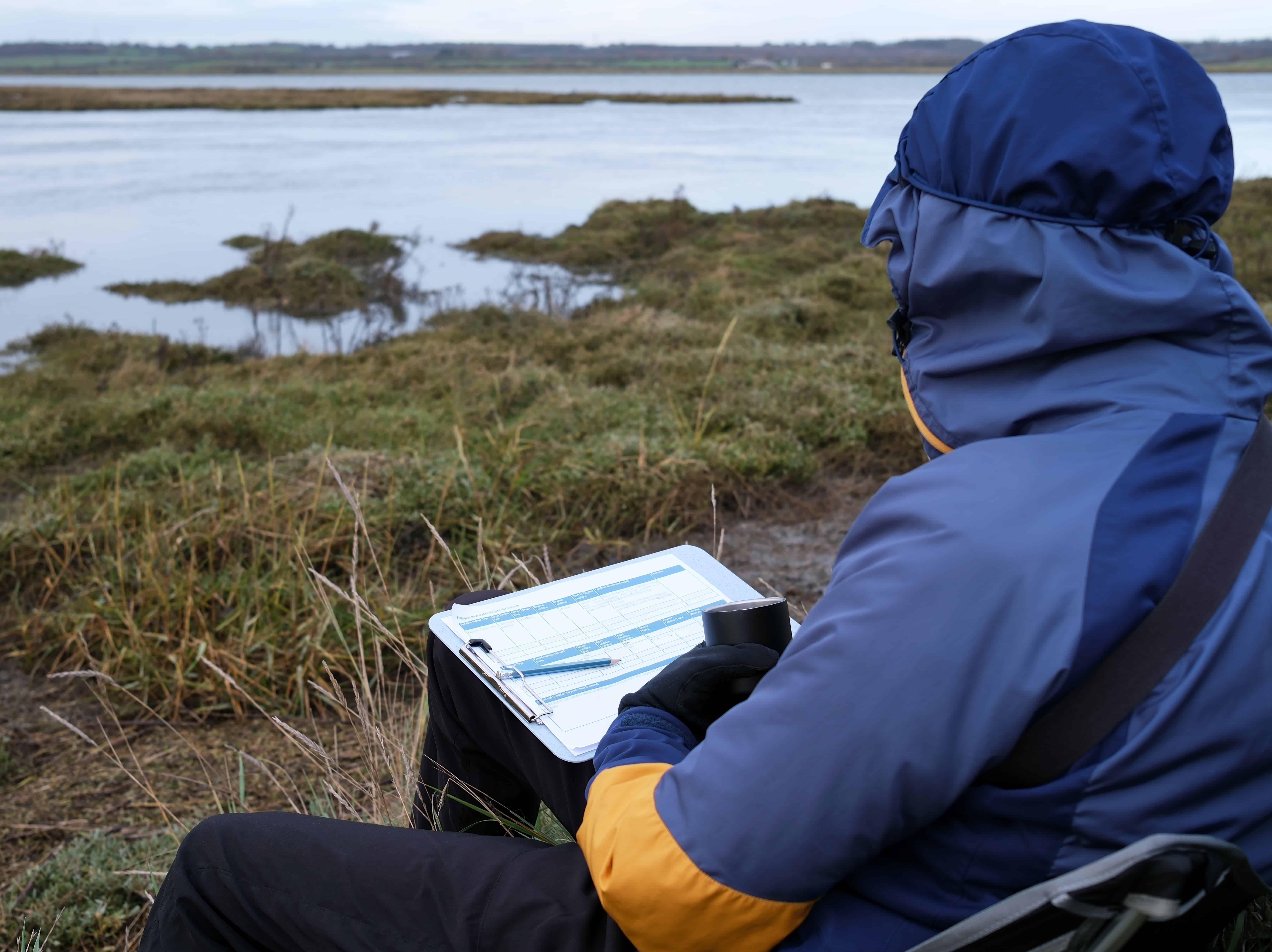
ESE performed a multi-resource desktop and GIS-based evaluation supported by regulatory database review and site reconnaissance to identify constraints across municipal policy, soils and agricultural resources, biological and ecological resources, cultural resources, air quality, floodplain and water quality, seismicity, hazardous materials, noise, and visual considerations. Federal and state databases including USFWS, TPWD, FEMA Flood Insurance Rate Maps, NRCS Web Soil Survey, National Wetlands Inventory, National Hydrography Dataset, and environmental records searches were analyzed and spatially overlaid to identify potential jurisdictional triggers. A discretionary permitting matrix was prepared outlining applicable regulations, agency oversight, approval pathways, and anticipated timeframes to provide the design team with a clear roadmap for compliance.
KEY FINDINGS
- Portions of the alignment are mapped within the 100-year floodplain and regulated floodway requiring local floodplain coordination
- Approximately two thirds of mapped soils are designated Prime Farmland or Farmland of Statewide Importance, though the corridor is highly disturbed
- Habitat suitable for federally proposed or candidate species may be present, warranting pre-construction biological surveys
- One conservation easement intersects the southern extent of the alignment
- No known cultural deposits were identified during desktop review; however, a cultural resources survey is required prior to construction under state law•
- No significant air quality, seismic, hazardous materials, noise, or visual constraints were identified
PROJECT IMPACT
Infrastructure projects within developed corridors often appear straightforward but can carry layered regulatory obligations that affect schedule and cost if not identified early. Through proactive analysis and coordinated regulatory strategy, ESE provided a defensible assessment of environmental constraints and a clear permitting pathway, allowing the design team to move forward with confidence. This project reflects ESE’s Texas First approach by combining technical rigor with practical foresight to reduce uncertainty and keep essential public infrastructure projects on track.