PROJECT OVERVIEW
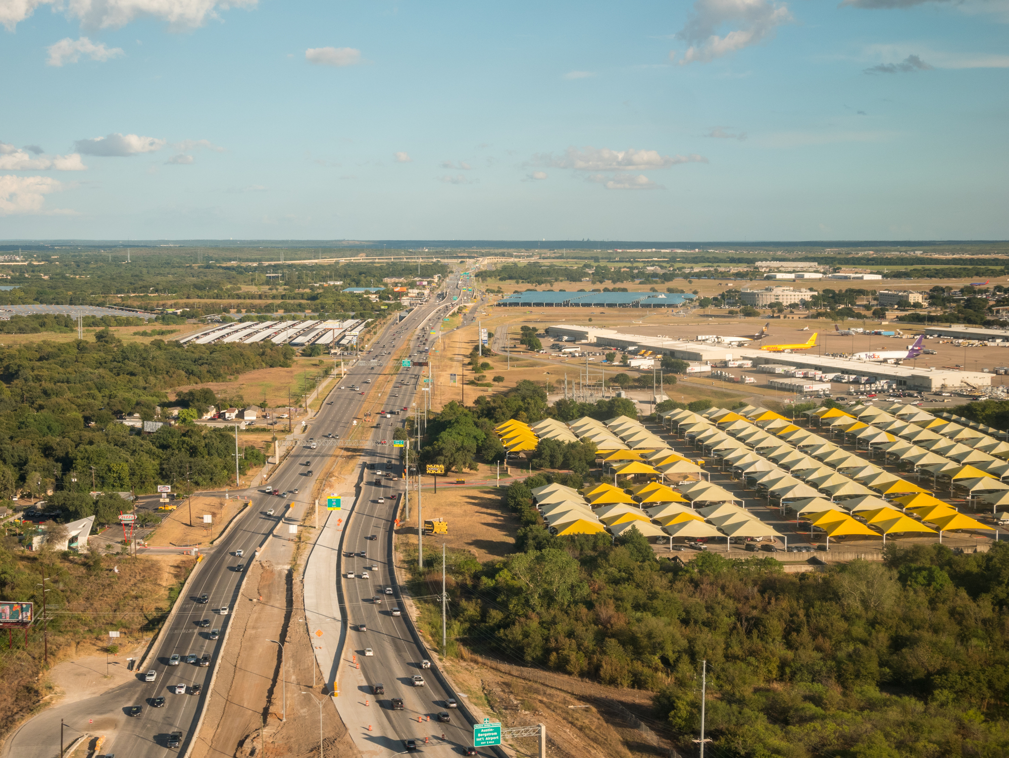
ESE Partners performed a comprehensive Water Resources Evaluation (WRE) and field-verified Waters of the United States (WOTUS) delineation to support a proposed public infrastructure project on approximately 25 acres of undeveloped and semi-improved land in Texas. The assessment identified aquatic resources, evaluated potential Clean Water Act jurisdiction, and provided a defensible basis for planning, permitting strategy, and construction sequencing decisions.
PROJECT CHALLENGES
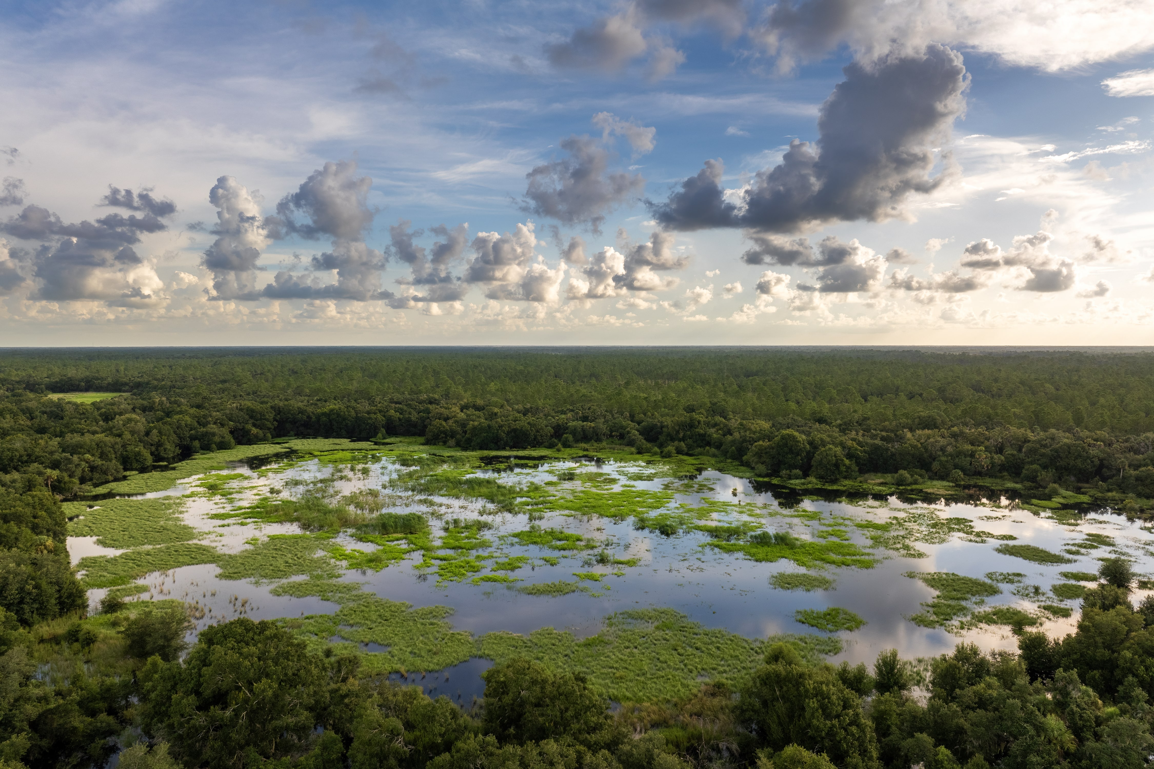
Desktop review of historical aerial imagery, National Wetlands Inventory mapping, LiDAR data, and soil surveys indicated potential wetlands and aquatic features on or near the site; however, prior land disturbance, variable precipitation, and subtle topography created uncertainty regarding regulatory jurisdiction. ESE provided a clear, well-documented field evaluation to reconcile desktop indicators with site conditions and reduce permitting risk and potential project delays.
ESE’S APPROACH
ESE conducted a detailed Water Resources Evaluation in accordance with U.S. Army Corps of Engineers guidance and applicable wetland delineation protocols. Services included:
- Comprehensive review of federal and state mapping databases, historical topographic maps, and aerial imagery
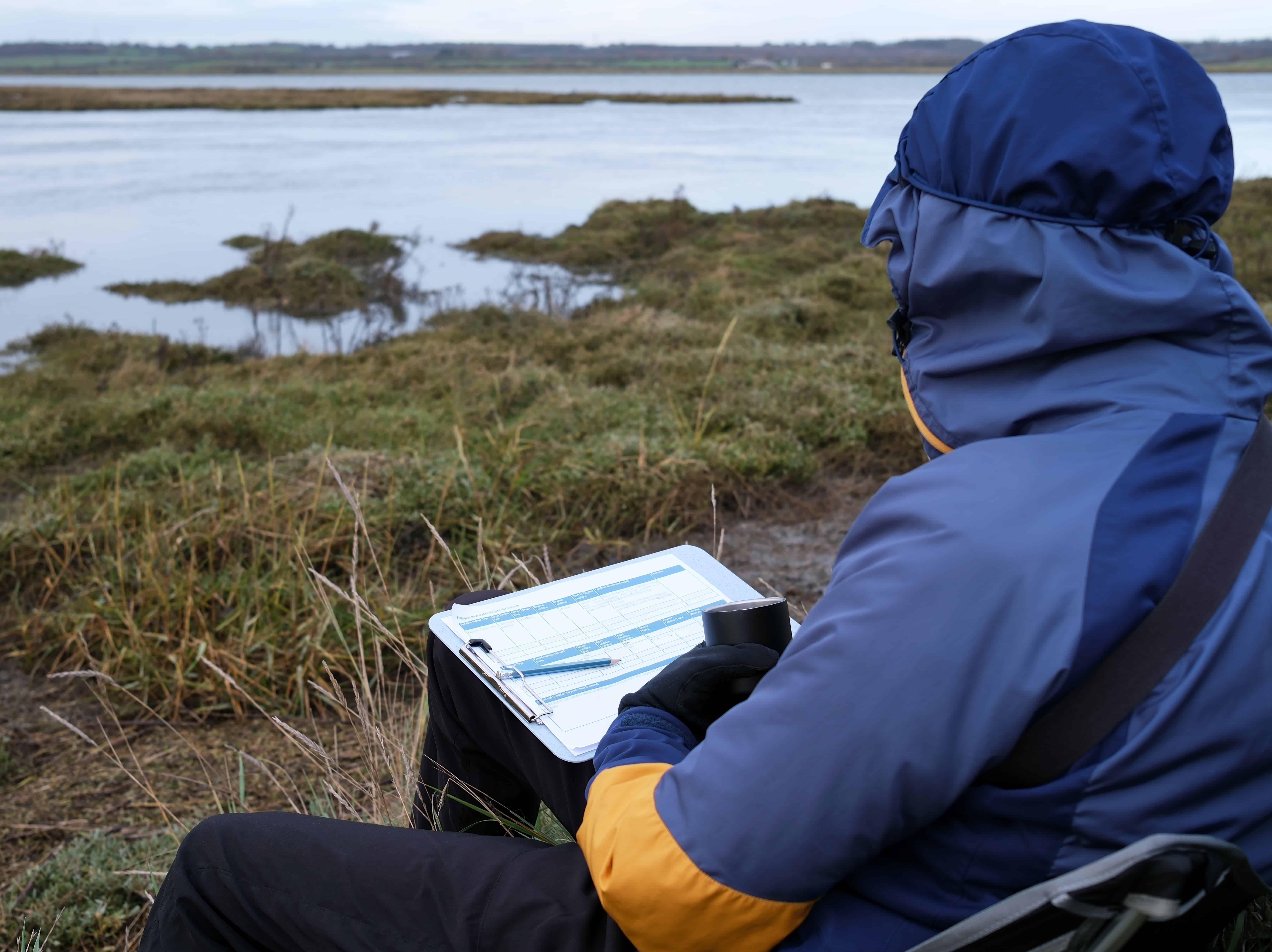
- Field delineation of aquatic features using USACE-approved methodologies
- Evaluation of hydrology, vegetation, and soils under normal circumstances
- Use of GPS data collection and LiDAR analysis to verify feature boundaries
- Professional assessment of jurisdictional status under Section 404 of the Clean Water Act
Field investigations were performed during the wet season and incorporated precipitation and drought index data to ensure defensible interpretation of site conditions.
RESULTS
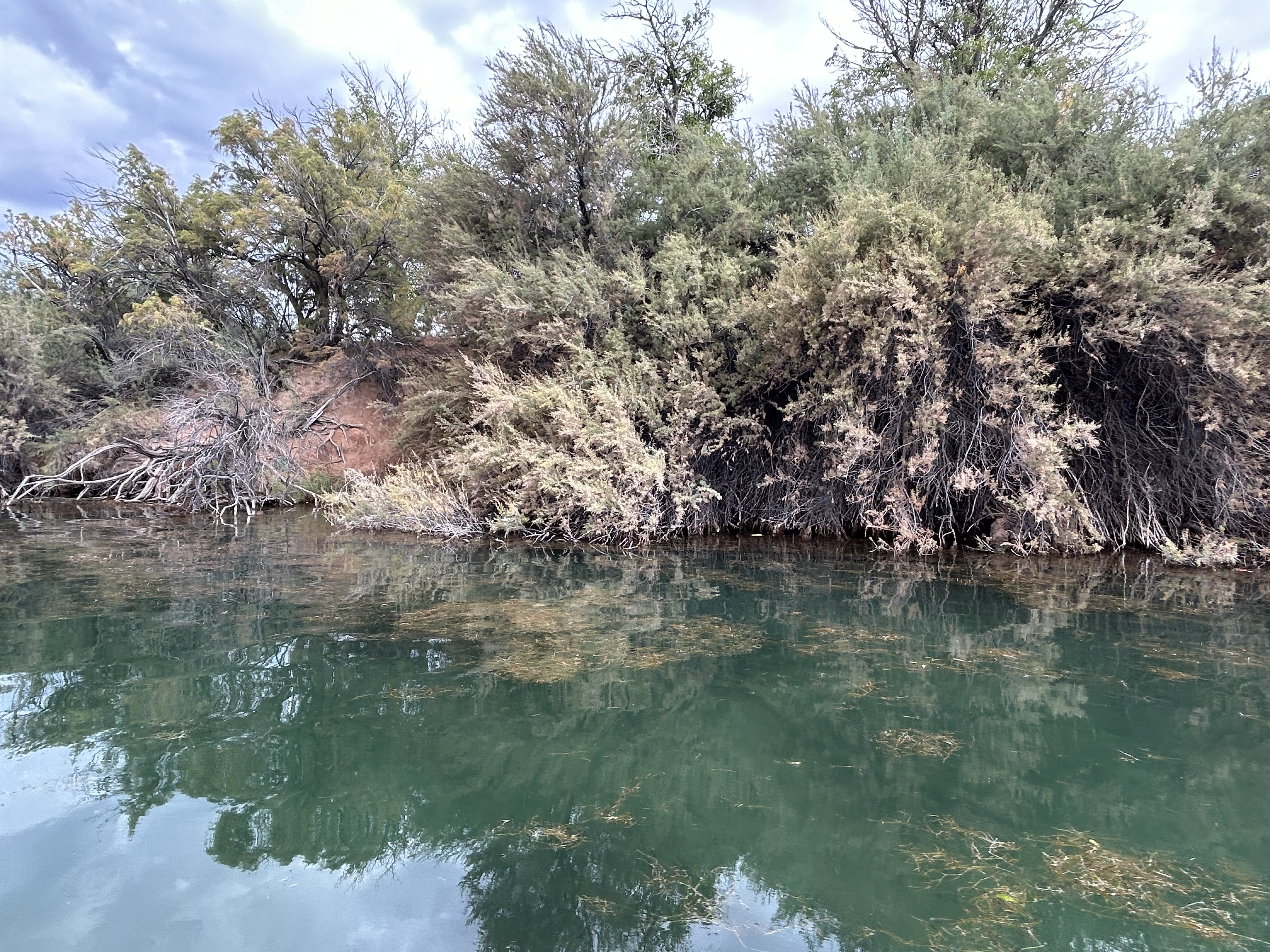
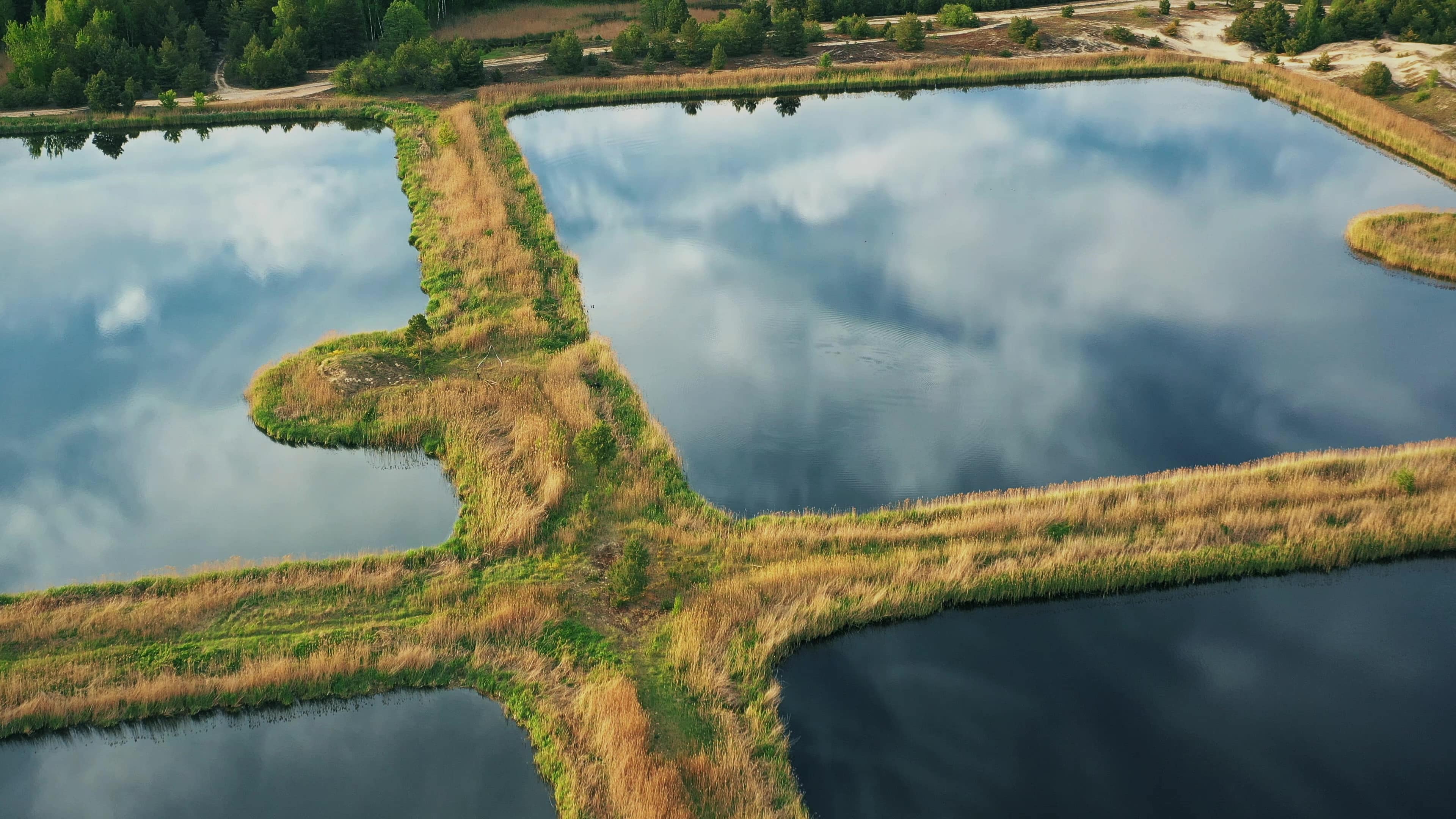
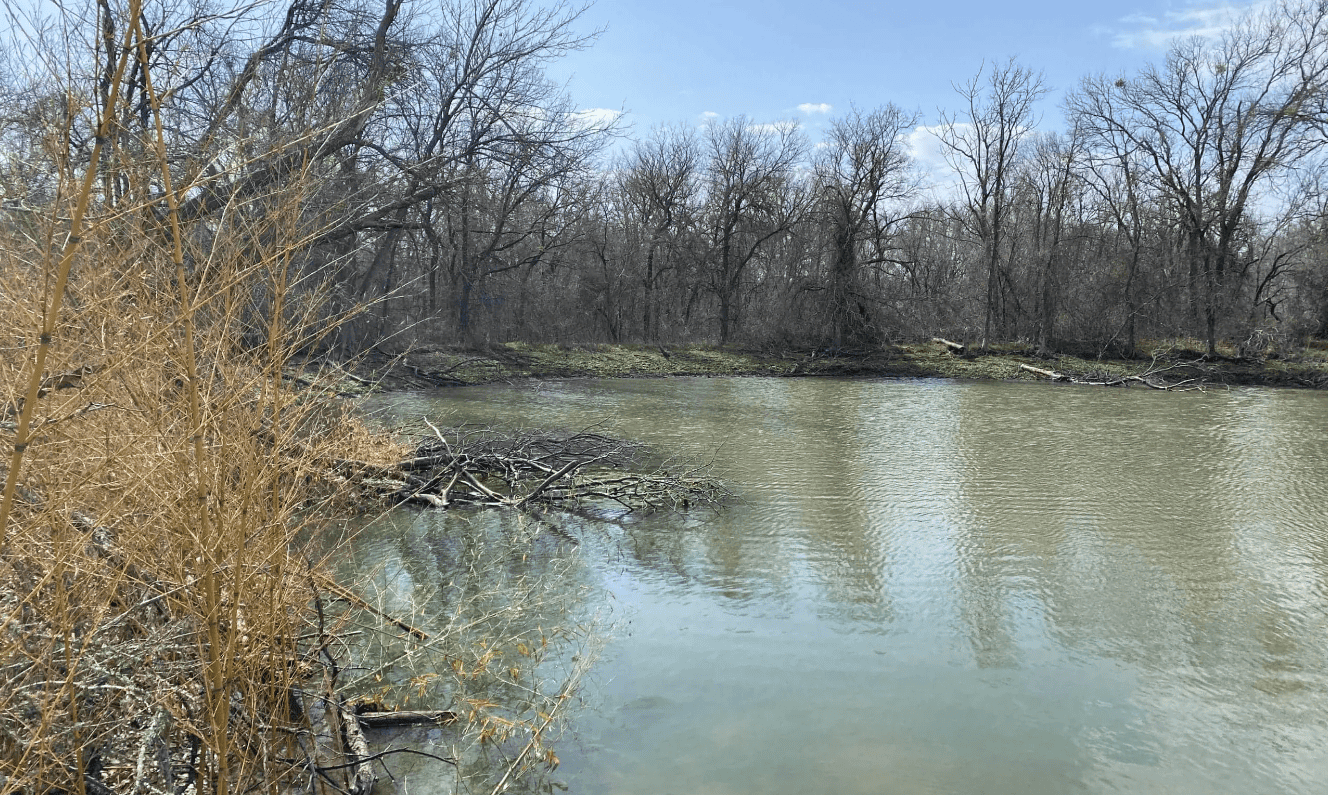
ESE identified a limited number of man-made aquatic features within the project area, including an upland pond and drainage ditch, and confirmed through field investigation that previously mapped wetlands were not present and that observed features did not meet federal jurisdictional criteria. Based on field verification and professional judgment, the features were determined to be non-jurisdictional, significantly reducing regulatory complexity and permitting risk for the proposed project.
OUTCOME
The evaluation provided the project team with a clear, well-supported understanding of site constraints and regulatory risk, enabling informed early planning decisions and minimizing the potential for unnecessary permitting or design modifications. This work demonstrates ESE’s expertise in delivering defensible WOTUS delineations and water resources evaluations that support infrastructure development while maintaining regulatory compliance.