PROJECT OVERVIEW
ESE conducted a Wetland and Other Waters Delineation to support the design and permitting of three proposed stream crossings associated with access improvements in North Texas. The objective was to identify aquatic features, evaluate potential jurisdiction under the Clean Water Act and River and Harbors Act, and provide a clear regulatory pathway prior to construction. The assessment included desktop analysis, field delineation, and jurisdictional evaluation consistent with USACE guidance and current federal regulatory standards.
CHALLENGES
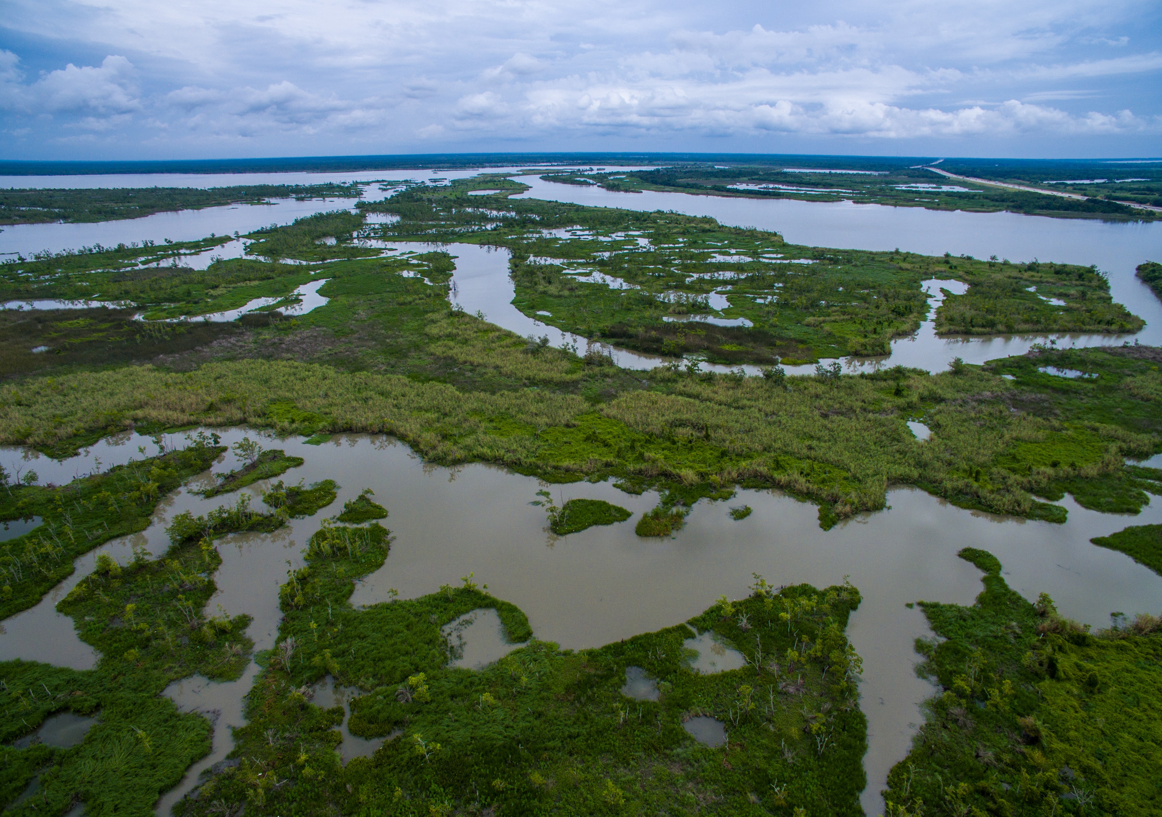
The corridor was located within a mapped floodplain and regulatory floodway and intersected multiple drainage features within the Northern Blackland Prairie ecoregion. Desktop review identified mapped riverine features and hydric soils conducive to wetlands, while historical imagery showed shifting hydrologic patterns and areas of prior disturbance. Because crossing design could trigger Section 404 permitting requirements, accurately distinguishing relatively permanent waters from ephemeral features was critical to controlling schedule risk and avoiding unnecessary mitigation or permitting delays.
ESE’S APPROACH
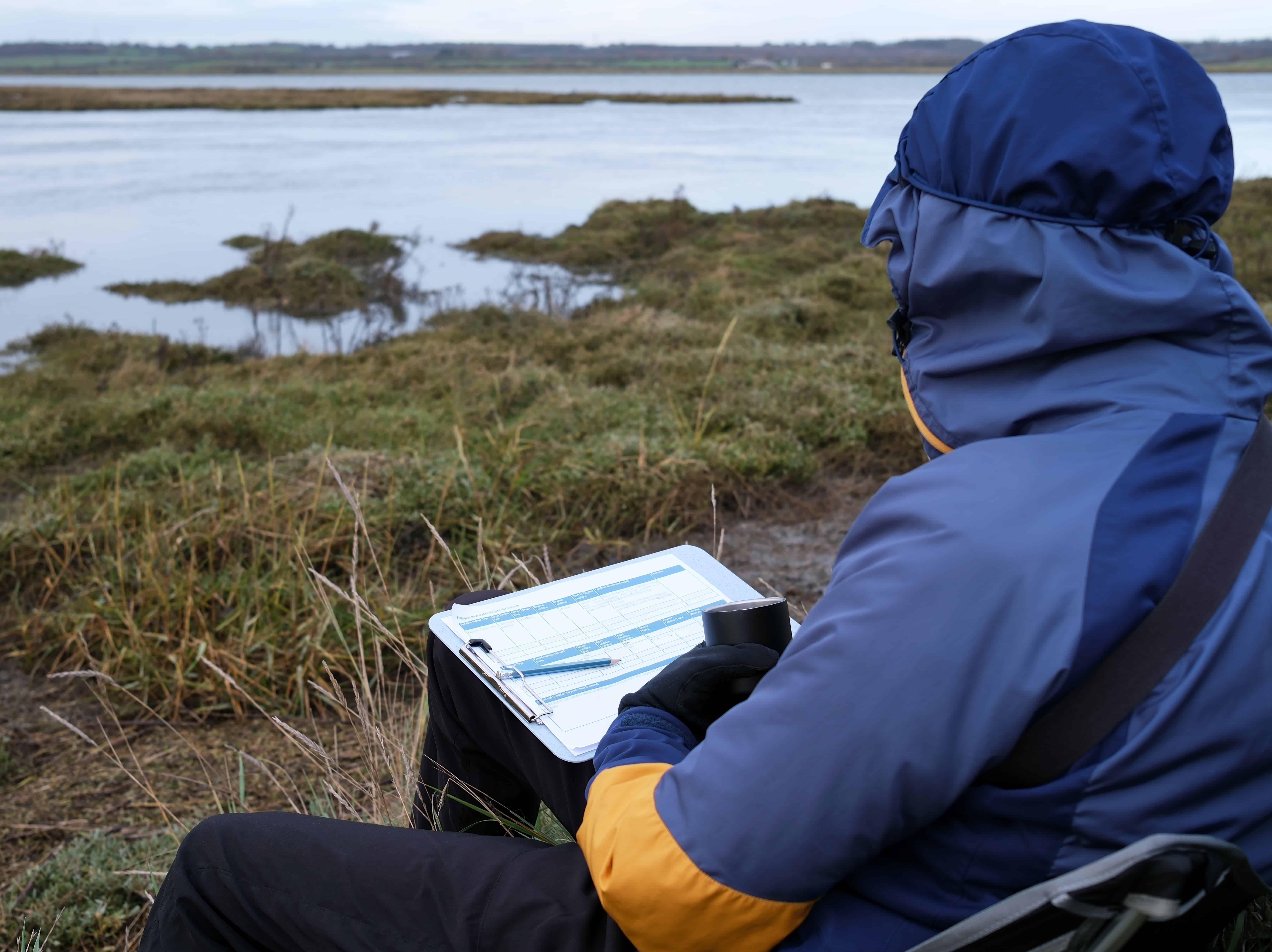
ESE performed a comprehensive map and database review including USGS topographic mapping, National Hydrography Dataset, National Wetlands Inventory, NRCS soils data, FEMA floodplain mapping, LiDAR analysis, and precipitation data using the USACE Antecedent Precipitation Tool. Field delineation was conducted in accordance with the 1987 USACE Wetlands Delineation Manual and the applicable Regional Supplement using the three-parameter methodology of hydrology, vegetation, and soils. Ordinary High Water Marks were documented, flow classifications were evaluated, and geospatial data were collected with sub-meter GPS accuracy. Hydrologic indicators, vegetative communities, and soil characteristics were analyzed to support defensible wetland determinations and jurisdictional opinions.
KEY FINDINGS
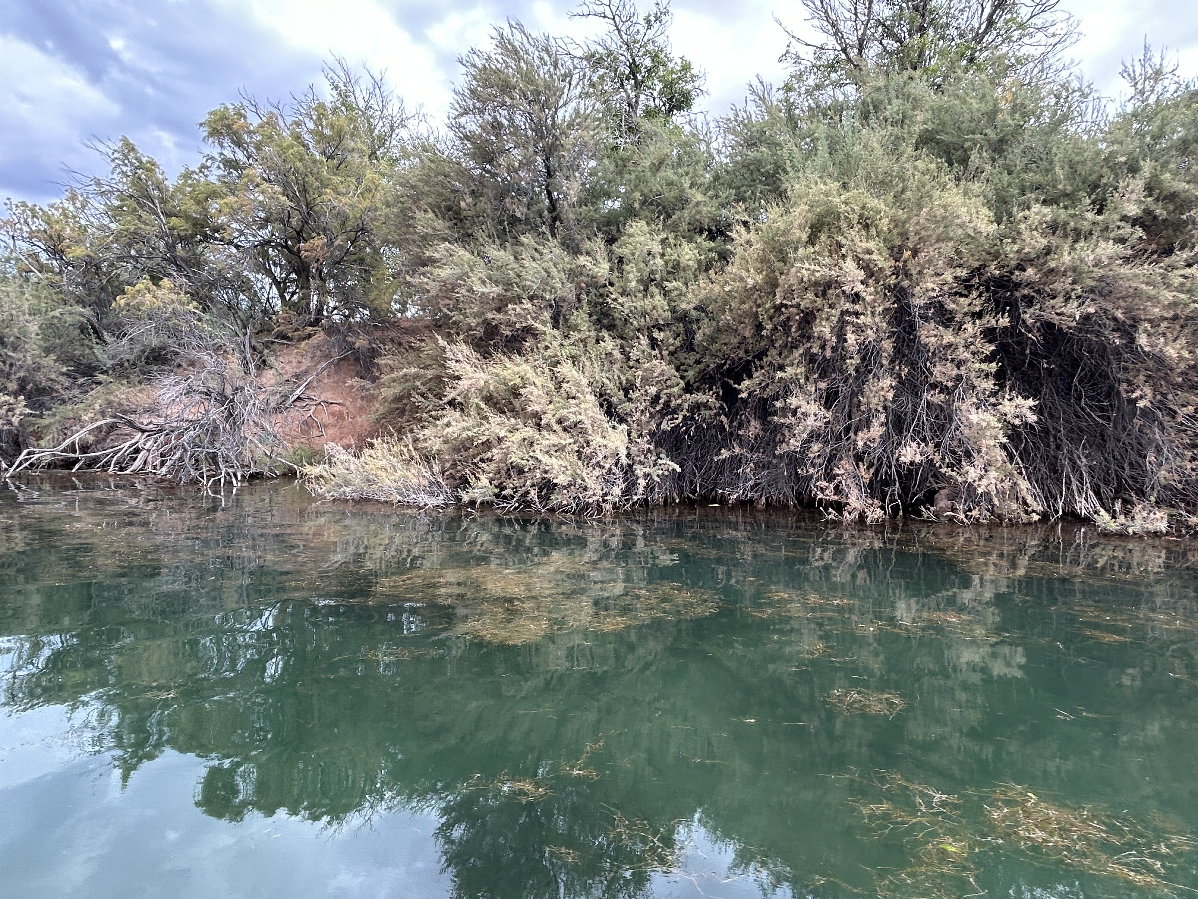
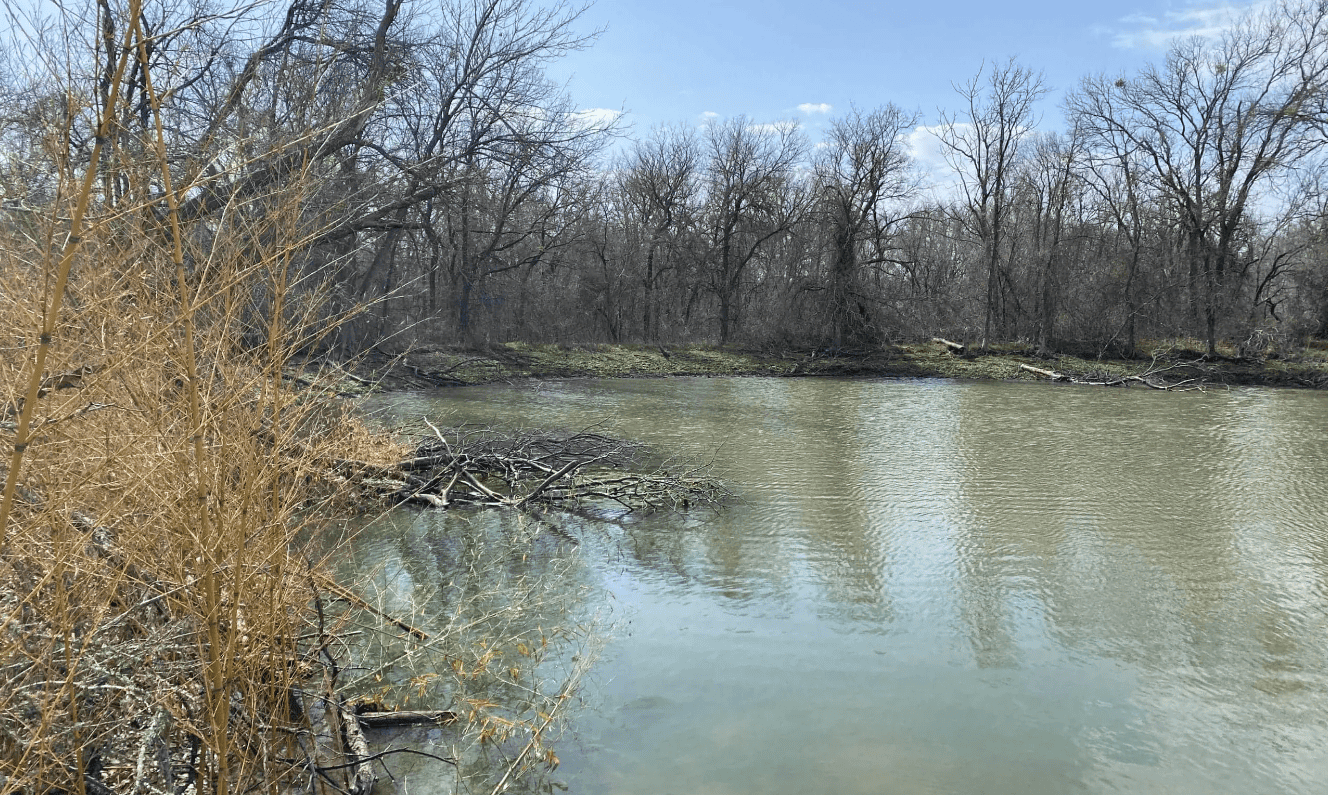
- Two perennial stream features exhibited continuous Ordinary High Water Marks, flowing water observations, and downstream connectivity consistent with relatively permanent waters and were determined likely jurisdictional under Section 404
- One ephemeral stream feature demonstrated connectivity but lacked relatively permanent flow and was determined likely non-jurisdictional
- No wetlands meeting three-parameter criteria were identified within the delineated areas
- The site lies within mapped floodplain and regulatory floodway requiring coordination during design
PROJECT IMPACT
By distinguishing perennial jurisdictional waters from non-jurisdictional ephemeral features, ESE reduced regulatory uncertainty at the front end of project development and provided the design team with a clear understanding of permitting triggers and approval pathways. The delineation and jurisdictional analysis positioned the project to proceed with confidence, minimized the potential for unexpected federal review, and supported efficient infrastructure planning within a sensitive hydrologic setting. This project reflects ESE’s Texas First approach by combining technical precision with practical regulatory strategy to keep complex projects moving forward.