PROJECT OVERVIEW
ESE conducted a water resources evaluation and Waters of the United States (WOTUS) delineation for an approximately 16.6-acre property in Southeast Texas to support future infrastructure planning and regulatory coordination. The objective was to identify aquatic resources, evaluate potential federal jurisdiction, and provide documentation suitable for agency review and permitting considerations.
CHALLENGES
Early identification of aquatic resources and jurisdictional considerations was necessary to support planning while minimizing potential permitting delays. The site contained drainage features and mapped wetlands that required field verification, hydrologic evaluation, and interpretation of federal jurisdiction under the Clean Water Act.
ESE’S APPROACH
- Conducted desktop review of environmental datasets including topographic mapping, wetlands inventory data, floodplain mapping, soils data, and aerial imagery
- Performed field delineation of aquatic resources using USACE wetland delineation protocols evaluating hydrology, vegetation, and soils
- Collected geospatial data to document aquatic features and map potential jurisdictional boundaries
RESULTS
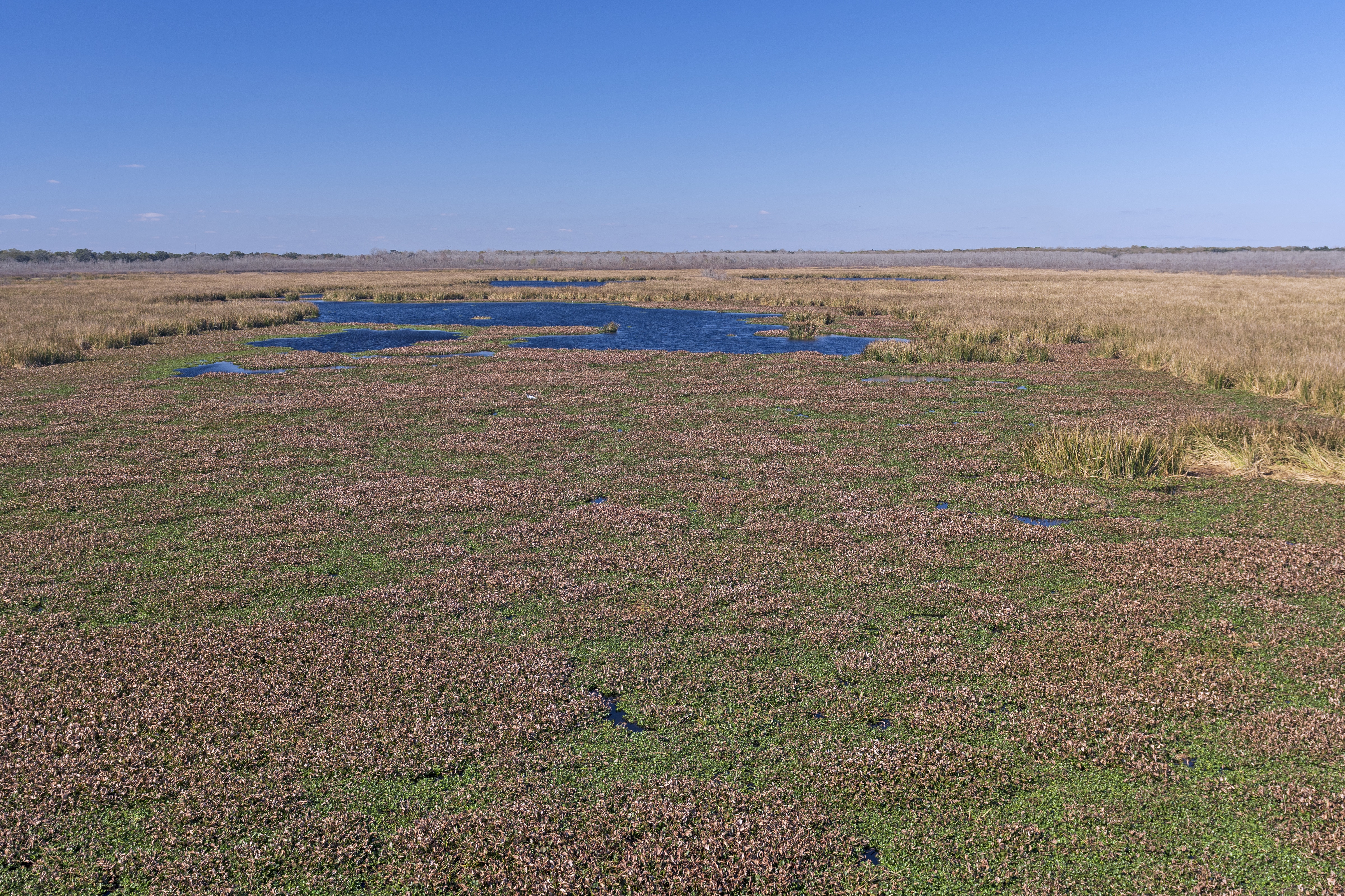
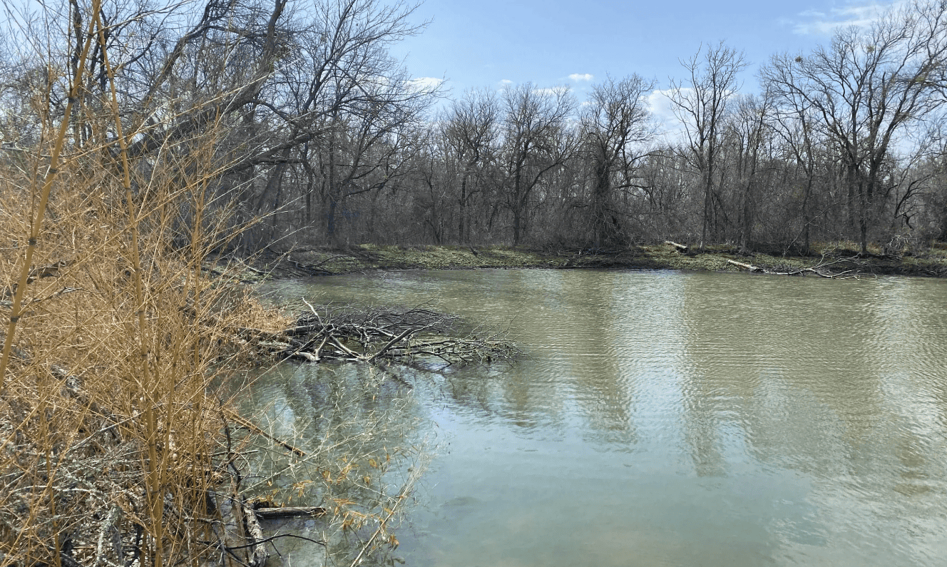
Field investigation identified two emergent wetland features and one drainage ditch with intermittent flow within the project area. Based on site conditions, soils, floodplain position, and connectivity to downstream waters, the aquatic features were determined to be unlikely to qualify as jurisdictional Waters of the United States. The findings provided the project team with clear documentation of environmental constraints and supported regulatory coordination for future development planning.