PROJECT OVERVIEW
ESE conducted a comprehensive Water Resources Evaluation for an approximately 26-acre tract to support proposed flood control improvements and assess potential impacts to Waters of the United States under Section 404 of the Clean Water Act and Section 10 of the River and Harbors Act. The evaluation included desktop analysis, field delineation, hydrologic assessment, and development of a jurisdictional opinion to provide regulatory clarity prior to design advancement and potential permitting.
CHALLENGES
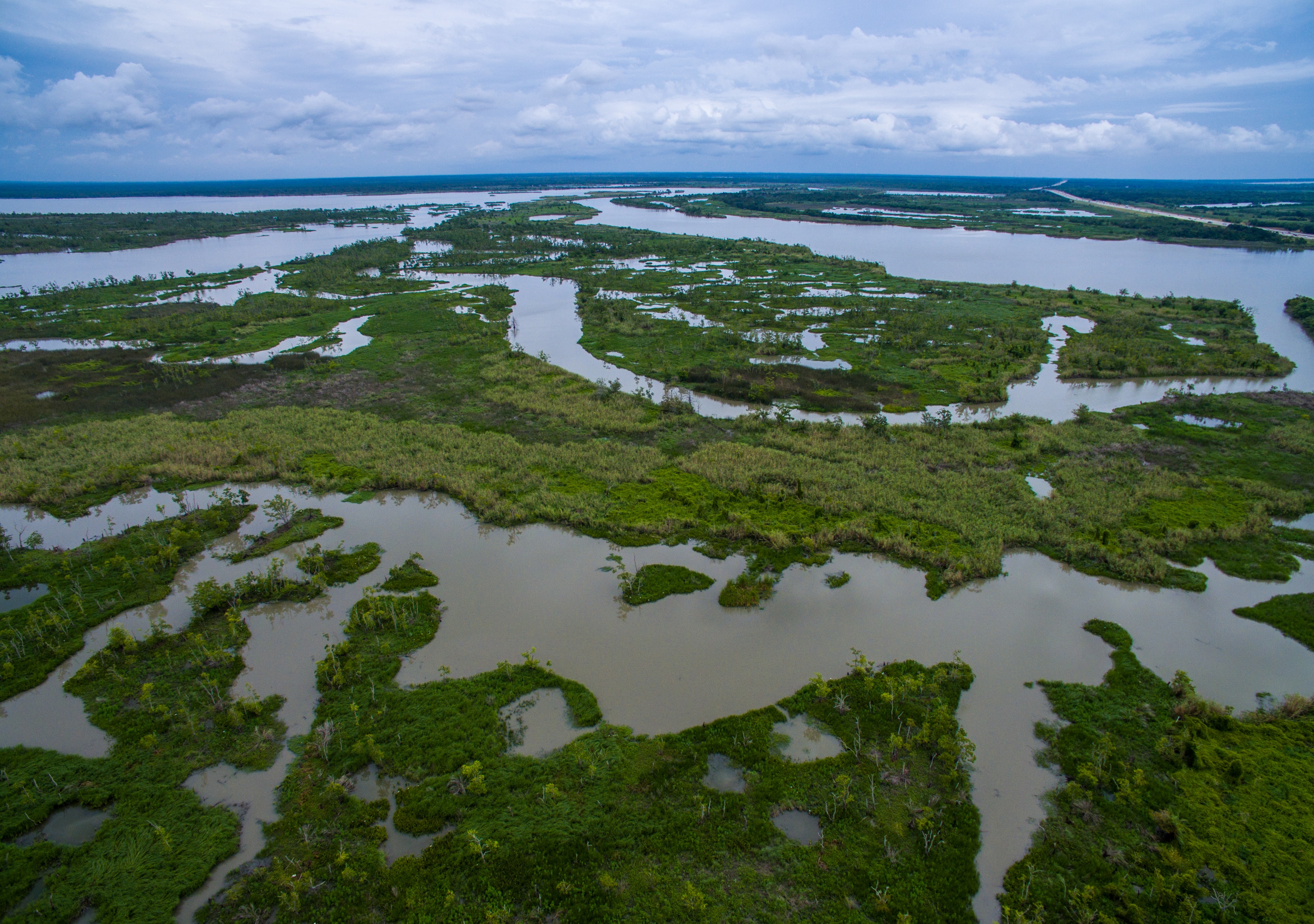
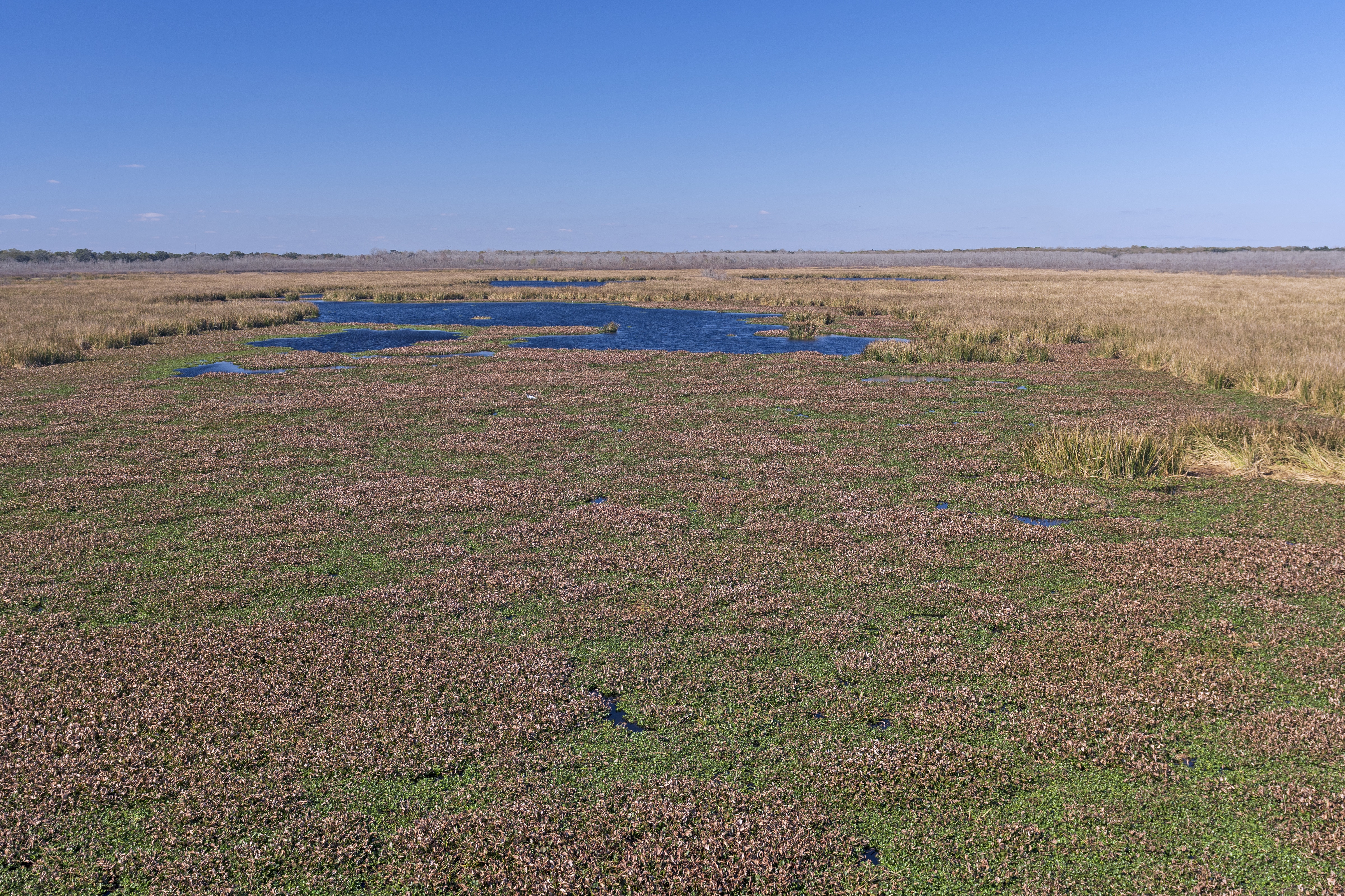
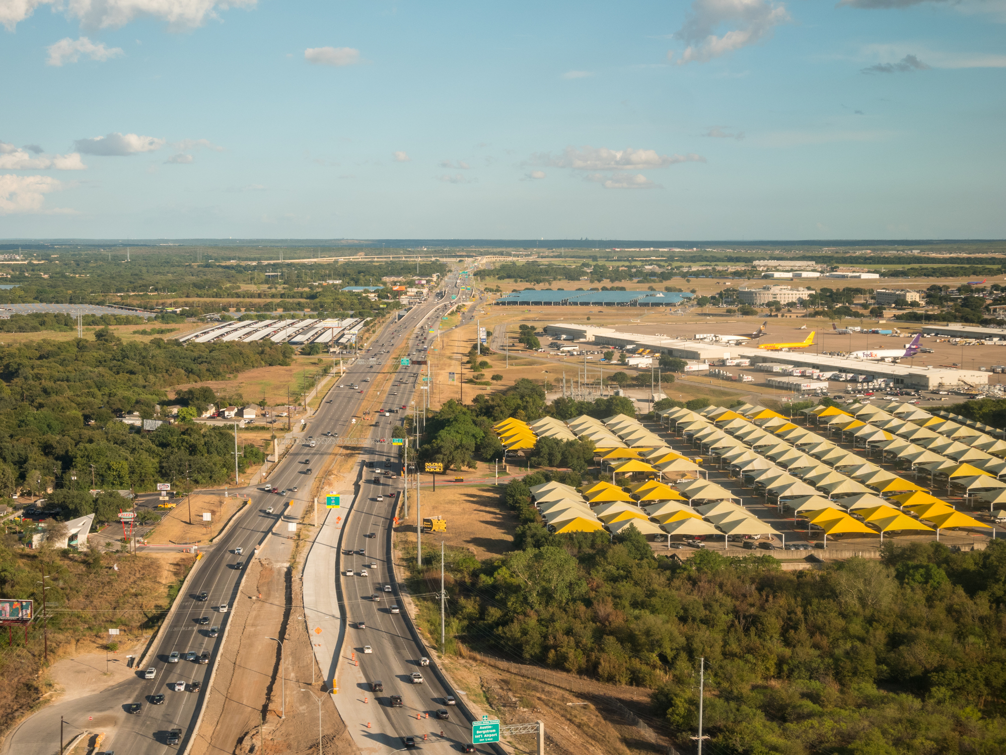
The property is located within the Northern Humid Gulf Coastal Prairies and consists primarily of pastureland with subtle topographic relief. Desktop review identified mapped depressions, National Wetlands Inventory features, and soil units with hydric components, creating uncertainty regarding potential wetlands or jurisdictional waterbodies. Historical aerial imagery suggested periodic surface expression of moisture gradients along the western boundary, while LiDAR indicated low areas that could extend into the tract. At the time of fieldwork, regional drought conditions were present, requiring careful evaluation to distinguish true wetland indicators from drought-affected uplands. Establishing defensible boundaries and jurisdictional status was critical to maintaining project schedule and avoiding unnecessary permitting risk.
ESE’S APPROACH
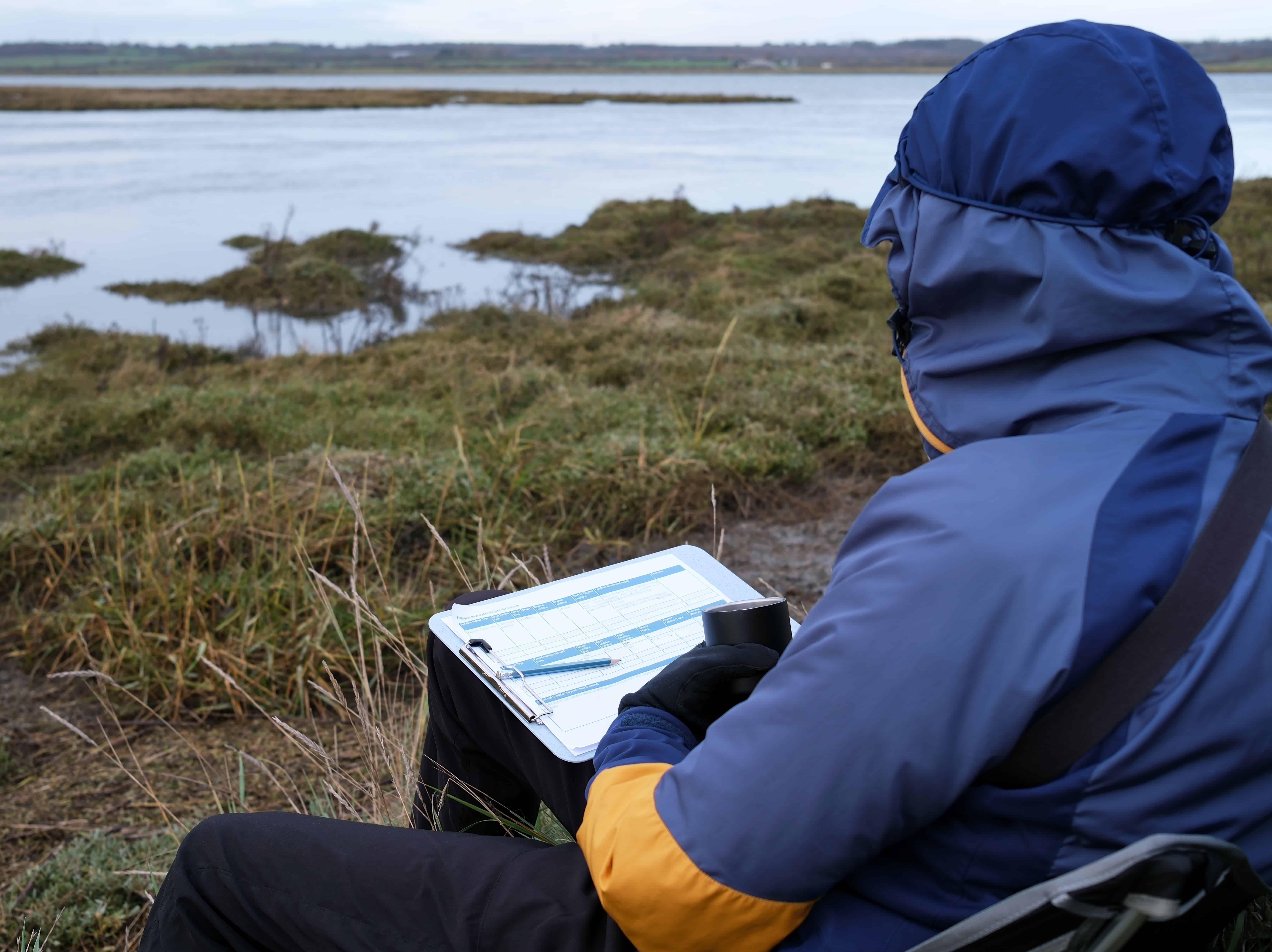
ESE completed a detailed map and database review including USGS topographic mapping from 1916 through 2022, National Wetlands Inventory data, NRCS soil survey information, FEMA flood mapping, watershed analysis, LiDAR evaluation, and precipitation trend assessment. Field delineation was conducted in accordance with the 1987 USACE Wetland Delineation Manual and the Atlantic and Gulf Coastal Plain Regional Supplement using the three-parameter methodology of hydrology, vegetation, and soils. Geospatial data were collected with sub-meter GPS accuracy consistent with USACE Galveston District standards. Multiple transects and test plots were established in areas where mapping suggested potential wetlands, and hydrologic indicators were evaluated in the context of seasonal and long-term precipitation data.
KEY FINDINGS
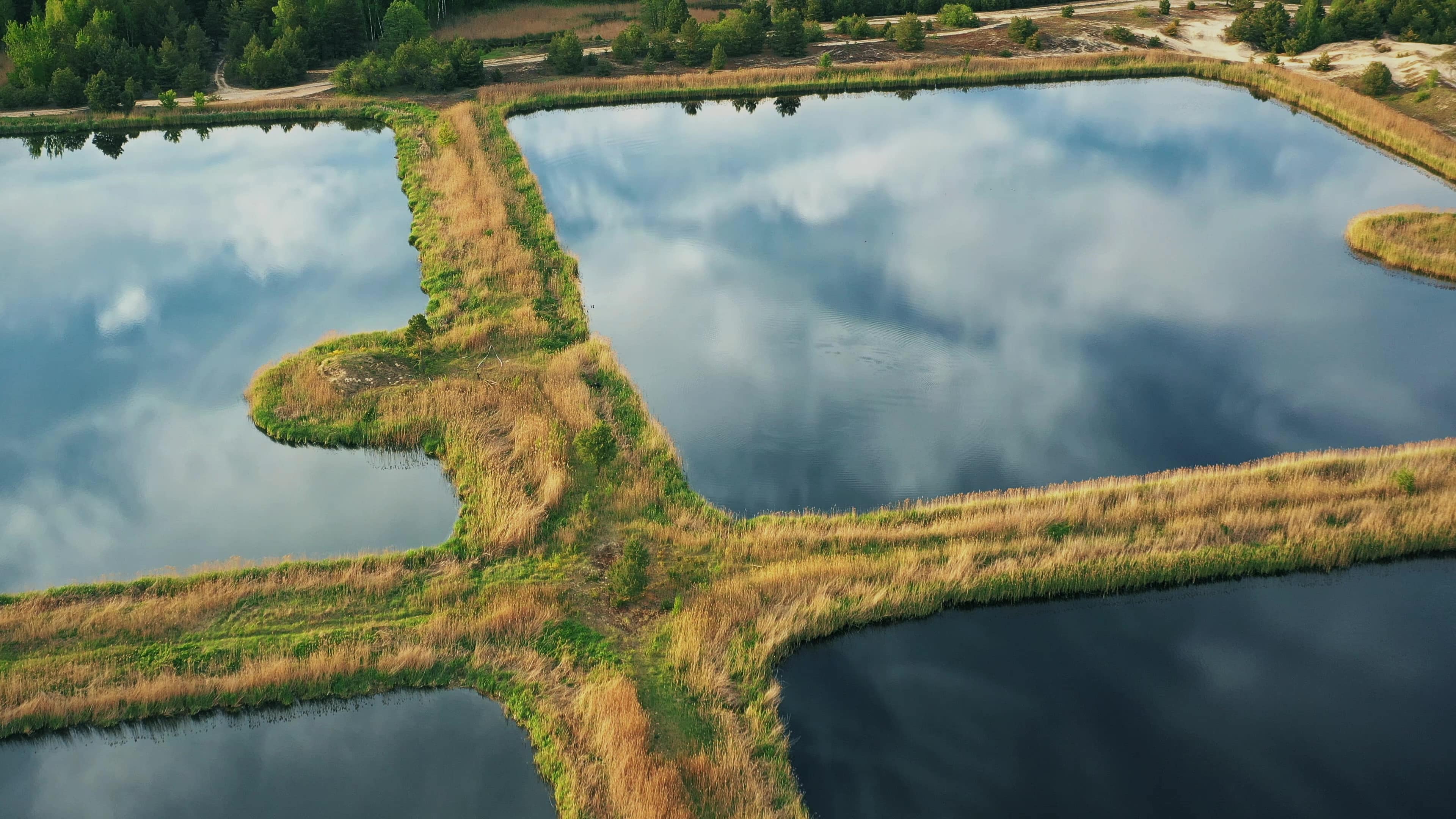
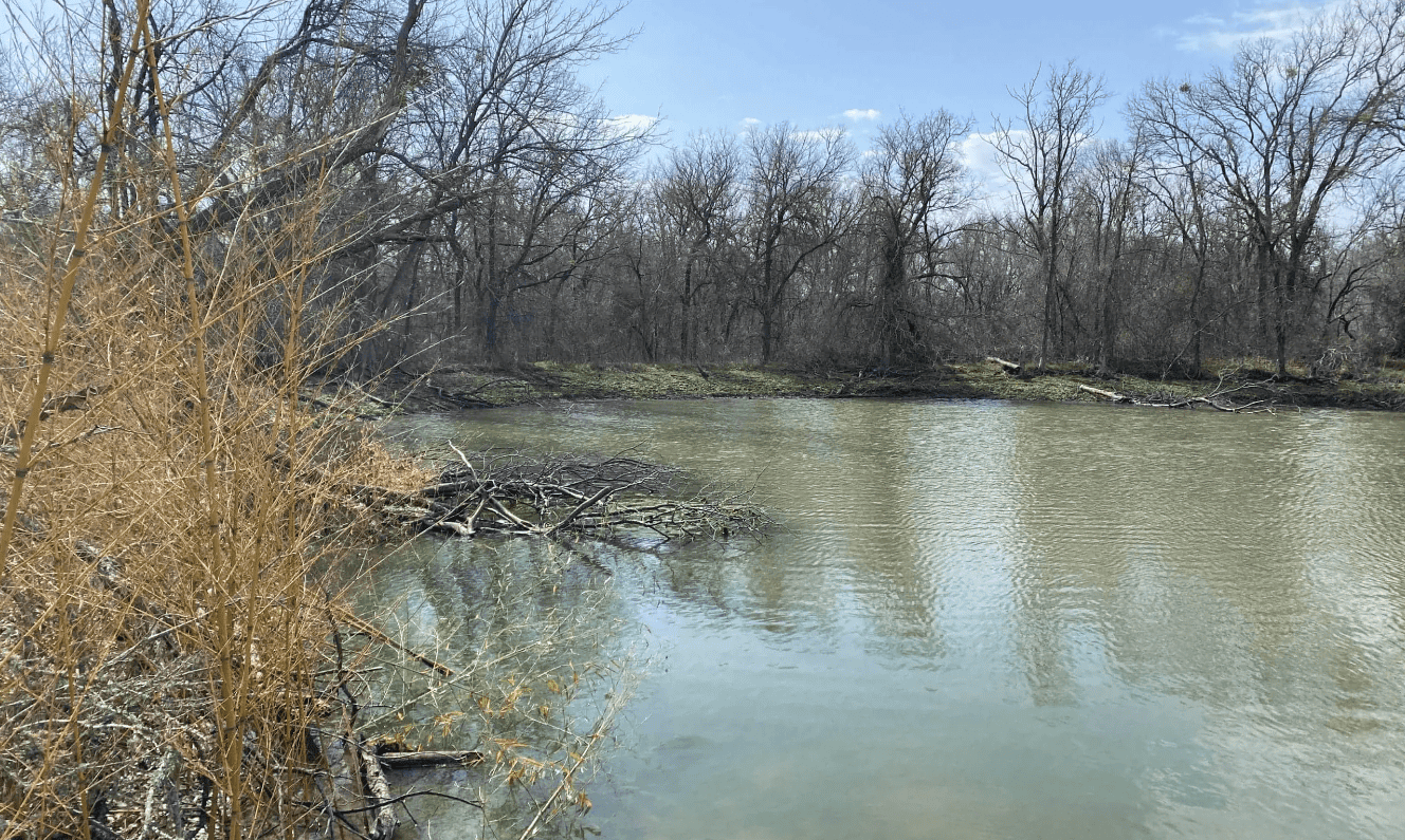
- Two constructed features were identified: an excavated pond and a drainage ditch
- No wetlands meeting USACE criteria were delineated on the property
- The identified pond and ditch were determined to have been excavated in uplands
- Neither feature is likely to be considered jurisdictional under Section 404 or Section 10
PROJECT IMPACT
Through a thorough desktop analysis and defensible field delineation, ESE eliminated regulatory uncertainty early in project planning and confirmed that no jurisdictional wetlands are present within the tract. By distinguishing mapped and inferred features from actual field conditions, the team reduced permitting exposure and provided the client with a clear path forward for flood control improvements. This project reflects ESE’s Texas First approach by combining technical rigor, regulatory insight, and practical judgment to keep critical infrastructure projects moving forward with confidence.