What Is a Water Resources Evaluation (Including Wetlands)?
A water resources evaluation is a due-diligence and permitting support scope that identifies and characterizes wetlands and other aquatic resources within and near a project footprint, then evaluates how those features affect design and permitting.
Typical deliverables include:
- Aquatic resources inventory (wetlands, streams/ephemeral drainages, ponds, ditches, other waters)
- Wetland delineation using USACE methods (1987 Manual + applicable Regional Supplement framework, as required by the Corps for regulatory delineations)
- Jurisdictional review to determine which features may be regulated as “waters of the United States” (WOTUS) under the CWA
- Permitting pathway assessment (avoid/minimize/mitigate; Nationwide Permit vs. Individual Permit concept)
- Permit application support packages (when needed) for USACE Section 404 and related approvals
For renewable energy, this work is often paired with constructability review (access roads, crane pads, inverter pads, collection corridors, substation footprints, HDD/boring options, and temporary construction impacts).
Request Your Water Resources Evaluation Today
Texas’ most trusted environmental experts – comprehensive by design.
When Is It Required?
You should plan a wetlands/waters evaluation when any of the following are true:
- Greenfield solar or wind where access roads, collection lines, or grading could cross drainage features
- Battery energy storage (BESS) sites with grading, stormwater improvements, or utility interconnect work near waters
- Transmission lines / gen-tie lines with pole structures, access routes, or conductor pull sites near drainages
- Any project that may place fill (rock, soil, concrete, culverts, riprap) in aquatic features—potentially triggering CWA Section 404
- You want to qualify for a streamlined Nationwide Permit (NWP) approach (where eligible) rather than a longer Individual Permit process
- Lenders/investors require confirmation of water/wetland constraints as part of environmental and permitting risk screening
ESE Partners’ Approach
ESE’s water resources evaluations are built for deal velocity and defensibility. We map constraints up front so design can avoid impacts early, which is cheaper than permitting and mitigation. Our fieldwork is renewables-aware, accounting for collector corridors, road templates, turning radii, and maintenance access realities. We align permitting strategy to your schedule, using phased delineations and targeted jurisdictional determination (JD) requests where they matter most. Our reporting is clear and decision-ready, separating true jurisdictional risk from areas that are simply “wet on the map.” We execute Texas-first, with the ability to scale across multi-county portfolios.
Our Process
- Desktop screening & fatal-flaw review: Compile available hydrology/soils mapping, aerials, topography, and known constraints to focus field effort.
- Field reconnaissance: Rapid verification of suspected wetlands/waters and identification of “surprise” features (e.g., swales, stock ponds, roadside ditches).
- Wetland delineation & aquatic feature mapping: Delineate wetland boundaries and map other aquatic resources to support engineering layout decisions.
- Jurisdictional strategy: Evaluate which features are likely WOTUS and whether an Approved Jurisdictional Determination (AJD) request is beneficial for certainty.
- Permitting pathway + impact analysis: Identify where impacts are avoidable; where not, quantify impacts and determine NWP vs. Individual Permit approach.
- Permit application support (as needed): Prepare figures, impact tables, and supporting documentation for Section 404 submittals.
- Mitigation coordination (if required): Support mitigation planning and coordination consistent with the selected permit pathway.
Regulatory Framework (What Actually Drives Permitting)
Water resources evaluations for renewables commonly align to several federal frameworks. Clean Water Act (CWA) Section 404, administered through the U.S. Army Corps of Engineers (USACE) permit program, governs discharges of dredged or fill material into waters of the United States (WOTUS), including wetlands. Nationwide Permits (NWPs) apply where activities meet eligibility criteria and conditions, and they are often a key schedule lever for linear crossings and minor fills. WOTUS definition updates and implementation also matter, because jurisdiction does not extend to anything that is merely wet. It depends on the current regulatory definition and site context. Wetland delineations follow USACE methodology, including the 1987 Manual and the applicable Regional Supplements used in regulatory delineations. Many projects also have state and local wetland or stream requirements and stormwater obligations, and ESE scopes those based on project location and footprint.
Risks of Not Completing This Service
Skipping (or delaying) wetlands/waters work can create avoidable project risk:
- Layout rework late in design (roads/collection corridors suddenly can’t cross a feature)
- Permitting delays if a Section 404 authorization is needed and wasn’t planned
- Unbudgeted mitigation costs (mitigation credits, redesign, or construction method changes)
- Construction stoppages if aquatic resource impacts are discovered after mobilization
- Financing and transaction friction when investors/lenders identify unresolved jurisdictional/permitting exposure
More Renewable Energy Services
Regulatory & Planning Documentation
We produce the analyses and federal documentation that keep projects defensible and on schedule.
- NEPA Environmental Assessments and Categorical Exclusions
- Critical Issues Analyses (CIA)
- Site Characterization Studies (SCS)
- Environmental Evaluation Studies
Due Diligence
Early-stage environmental risk identification protects deal value and prevents costly surprises during financing or construction.
- Phase I Environmental Site Assessments
- Environmental Audits
- Transaction Screenings
- Risk Assessments
- Corridor Assessments
Industries We Serve
ESE operates in a wide range of industries, all with unique needs and regulatory obligations. We offer experts who understand the broad complexity of environmental challenges faced by today’s businesses.

Real Estate Brokers & Developers
ESE helps brokers and developers reduce deal friction and avoid surprises through fast, defensible environmental due diligence. We support property evaluations, redevelopment risk screening, and transaction-ready reporting for Texas assets.

Private Equity/Capital Investors
Transaction support for acquisitions and portfolio oversight, including Phase I/II ESAs and risk-based evaluation. We provide clear findings, practical recommendations, and scalable diligence support.

Financial Institutions
ESE supports lender-driven environmental due diligence and portfolio risk management, including Phase I/II ESAs and risk screening. We deliver consistent, defensible reporting aligned with credit and closing timelines.

Attorneys
Technical support for environmental risk, liability evaluation, and regulatory strategy. We provide clear documentation and expert collaboration to support transactions, compliance matters, and remediation planning.
Why ESE Partners
Texas’ Most Trusted Environmental Experts – Comprehensive by Design
ESE Partners is built for complex, fast-moving development. We are Texas-based and deliver statewide across Houston, Dallas–Fort Worth, Austin, San Antonio, and the rural counties where renewables are built. Our environmental services go beyond wetlands to include due diligence, permitting, compliance, remediation support, natural and cultural resources, and building sciences. We give practical, defensible recommendations that protect schedule without overcalling risk. Our responsive teams match deal pace, from early screening to permit-ready deliverables.
Need a wetlands/waters constraints map or a permit-ready delineation to keep your renewable project moving?
Contact ESE Partners to scope a water resources evaluation—fast turnaround, clear deliverables, and a permitting strategy aligned to your schedule.
Our Renewable Energy Projects
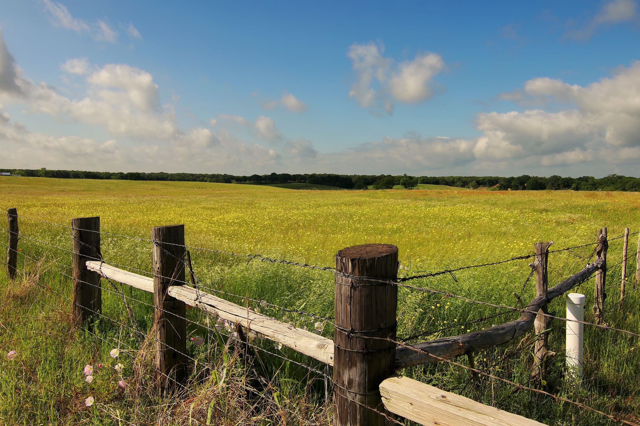
CIA and Permitting Matrix for BESS
ESE completed a CIA and Permit Matrix for two alternate locations near the Gulf Coast along with alternative Transmission Line routes to help the client determine the best option for building a new BESS facility.
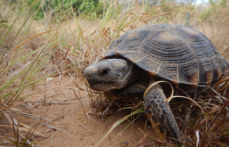
Webb County Solar Site
ESE conducted wetland delineations, threatened and endangered species habitat evaluations, Phase I Environmental Site Assessment, Phase II Environmental Site Assessment, and oversaw cultural resources studies for a purposed 3,925-acre utility-scale solar installation in South Texas.
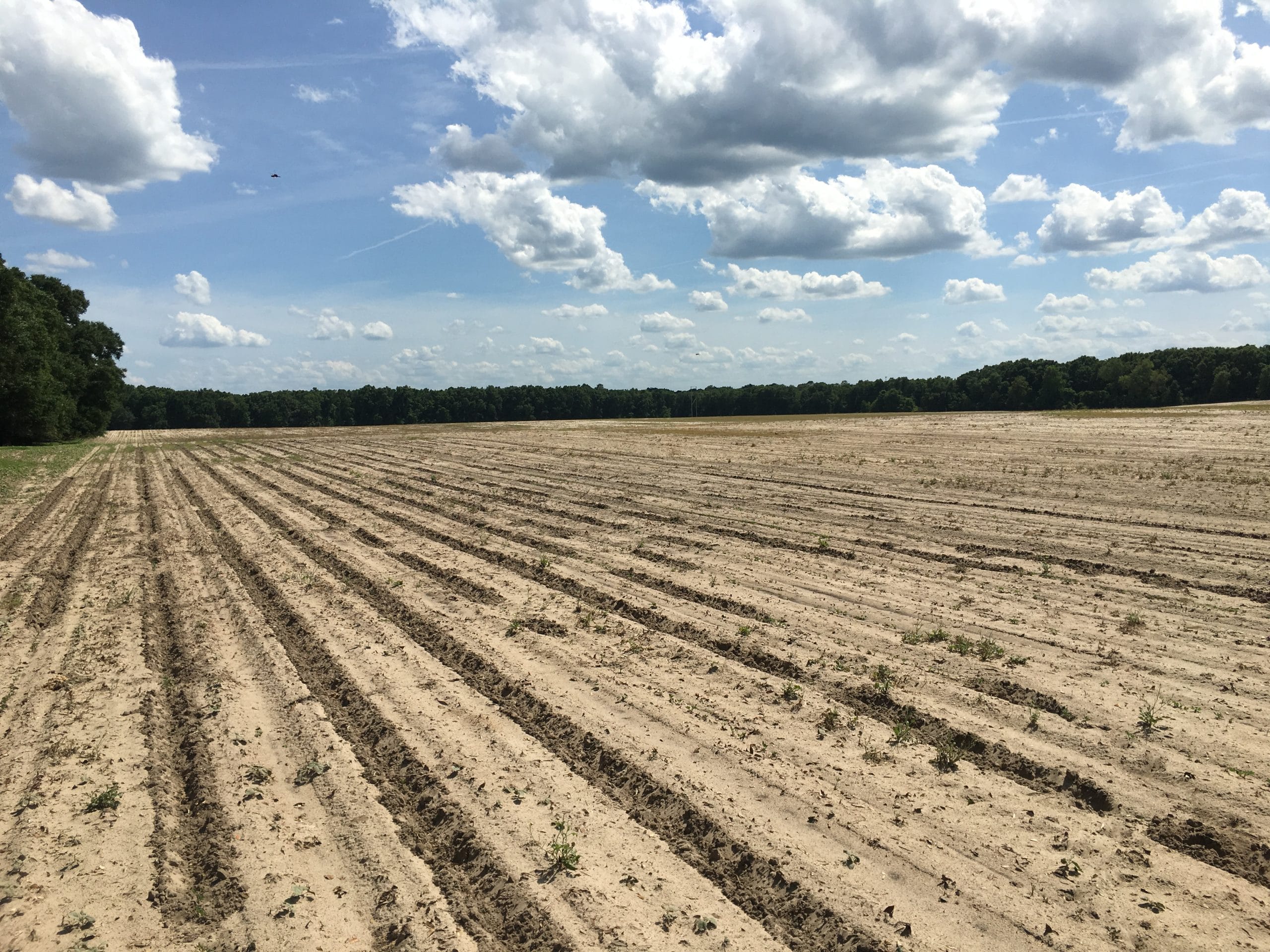
Large Scale Solar Site in Columbia County, Florida
ESE conducted a Phase I Environmental Site Assessment (ESA) for a proposed large-scale solar installation in Columbia County, Florida.
Frequently Asked Questions About Water Resources Evaluations
What is a water resources evaluation for a renewable energy project?
A water resources evaluation is a due diligence and permitting support scope that identifies and characterizes wetlands and other aquatic resources within and near a project footprint, then evaluates how those features affect design and permitting. Typical deliverables include an aquatic resources inventory of wetlands, streams, ephemeral drainages, ponds, ditches, and other waters, and a wetland delineation using U.S. Army Corps of Engineers (USACE) methods. They also include a jurisdictional review of which features may be regulated as waters of the United States (WOTUS) under the Clean Water Act (CWA), a permitting pathway assessment, and permit application support packages for USACE Section 404 and related approvals when needed. For renewable energy, the work is often paired with constructability review of access roads, crane pads, inverter pads, collection corridors, substation footprints, horizontal directional drilling and boring options, and temporary construction impacts.
When is a wetlands and waters evaluation required?
You should plan an evaluation for greenfield solar or wind projects where access roads, collection lines, or grading could cross drainage features. It also applies to battery energy storage system (BESS) sites with grading, stormwater improvements, or utility interconnect work near waters, and to transmission and gen-tie lines with pole structures, access routes, or conductor pull sites near drainages. Any project that may place fill such as rock, soil, concrete, culverts, or riprap in aquatic features can trigger CWA Section 404. Projects that want a streamlined Nationwide Permit (NWP) approach, where eligible, rather than a longer Individual Permit process also need one, as do projects where lenders or investors require confirmation of water and wetland constraints as part of environmental and permitting risk screening.
What are the risks of skipping or delaying a wetlands and waters evaluation?
Skipping or delaying the work can force layout rework late in design when roads or collection corridors suddenly can’t cross a feature. It can cause permitting delays if a Section 404 authorization is needed and wasn’t planned, and unbudgeted mitigation costs from mitigation credits, redesign, or construction method changes. Construction can stop if aquatic resource impacts are discovered after mobilization, and financing and transaction friction can follow when investors or lenders identify unresolved jurisdictional or permitting exposure.
What does ESE Partners’ water resources evaluation process look like?
ESE Partners starts with desktop screening and a fatal-flaw review of hydrology and soils mapping, aerials, topography, and known constraints to focus field effort. Field reconnaissance then verifies suspected wetlands and waters and identifies surprise features such as swales, stock ponds, and roadside ditches, followed by wetland delineation and aquatic feature mapping to support engineering layout decisions. We develop a jurisdictional strategy, including whether an Approved Jurisdictional Determination (AJD) request is worth pursuing for certainty, and analyze the permitting pathway and impacts, quantifying unavoidable impacts and determining whether an NWP or Individual Permit approach applies. Permit application support covers figures, impact tables, and documentation for Section 404 submittals, and mitigation coordination follows the selected permit pathway if required. The work aligns to CWA Section 404, NWPs, the current WOTUS definition, and USACE delineation methodology, and ESE scopes state and local wetland, stream, and stormwater requirements based on project location and footprint.